Website:
Landline:
Mobile:
Municipal: Lagonglong
Barangay: Manaol
Address:
Email:
All posts by hoj.cdo
Poblacion
Website:
Landline:
Mobile:
Municipal: Lagonglong
Barangay: Poblacion
Address:
Email:
Tabok
Website:
Landline:
Mobile:
Municipal: Lagonglong
Barangay: Tabok
Address:
Email:
Umagos
Website:
Landline:
Mobile:
Municipal: Lagonglong
Barangay: Umagos
Address:
Email:
Balingasag
According to early accounts, the present town site of Balingasag was popularly known as Gumpot, while Balingasag use to be the place which is now Galas.
Long ago, the territory of Galas was ruled by Datu Marcos and his wife, Ba-i Gregoria while Gumpot territory was under the rulership of Datu Mateo and his wife ,Ba-i Tomasa. The territory of Datu Marcos was frequently inundated by the overflowing waters from the Balatukan River, so the natives move northward toward Gumpot . They finally settled in Gumpot and called the new settlement as Balingasag and the name had struck since then.
The name Balingasag was derived from the words “baling” which means fishing net and “kasag” means crab. Legend says that during the Spanish regime, there was a group of civil guards patrolling the seashore. Upon reaching the cave near Galas they saw some fishermen by the shore who were pulling their fishnets. The guards asked for the name of the Poblacion but the men did not understand their language and thought they were asked what they were doing so they answered “baling”, pointing to the net, and “kasag”, pointing the crabs in their bancas.
The Spaniards upon hearing the words “baling” and “kasag” repeatedly said the words until the other civil guards picked up the sound and repeated after them “baling-kasag”. Thus the place was given a name “Balingasag” which appeared in official records of the Spaniards.
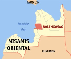
| Website: | no website found |
| Facebook: | no page found |
| Email: | no email found |
| Landline: | no number found |
| Mobile: | no number found |
| Municipal: | Balingasag |
| Barangays: | 30 |
| Address: | Poblacion, Balingasag |
| Add. Info: | none |
Urban/Rural
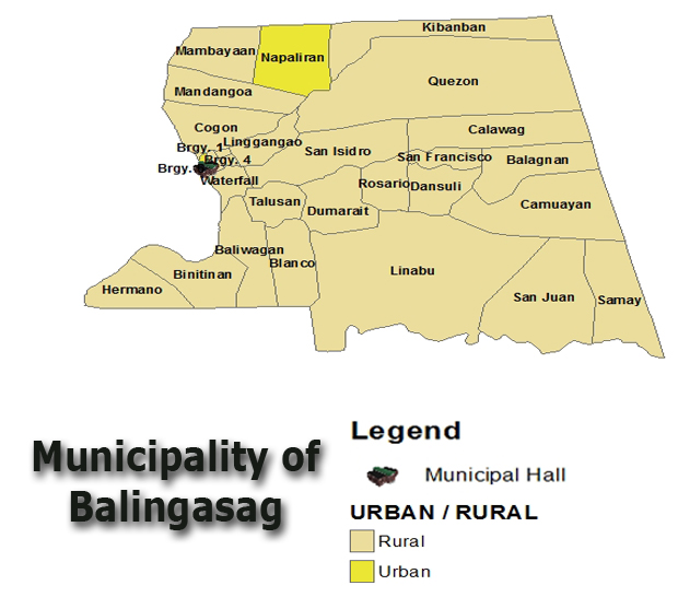
Barangay Officials
A barangay is led and governed by its barangay officials. The “barangay officials” is considered as a Local Government Unit (LGU) same as the Provincial and the Municipal Government. It is composed of a Punong Barangay and 7 Barangay Kagawad. Thus, there are 8 members of the Legislative Council in a barangay. Each member has its own respective committee where they are Chairmen of those committees. The Committees are the following: (1) Peace and Order Committee, (2) Infrastructure Committee, (3) Education Committee, (4) Health Committee, (5) Agriculture Committee, (6) Tourism Committee, (7) Finance Committee, and (8) Youth and Sports Committee. There are 3 appointed members of each committee. (Source)
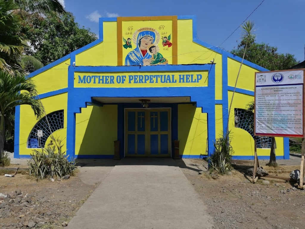
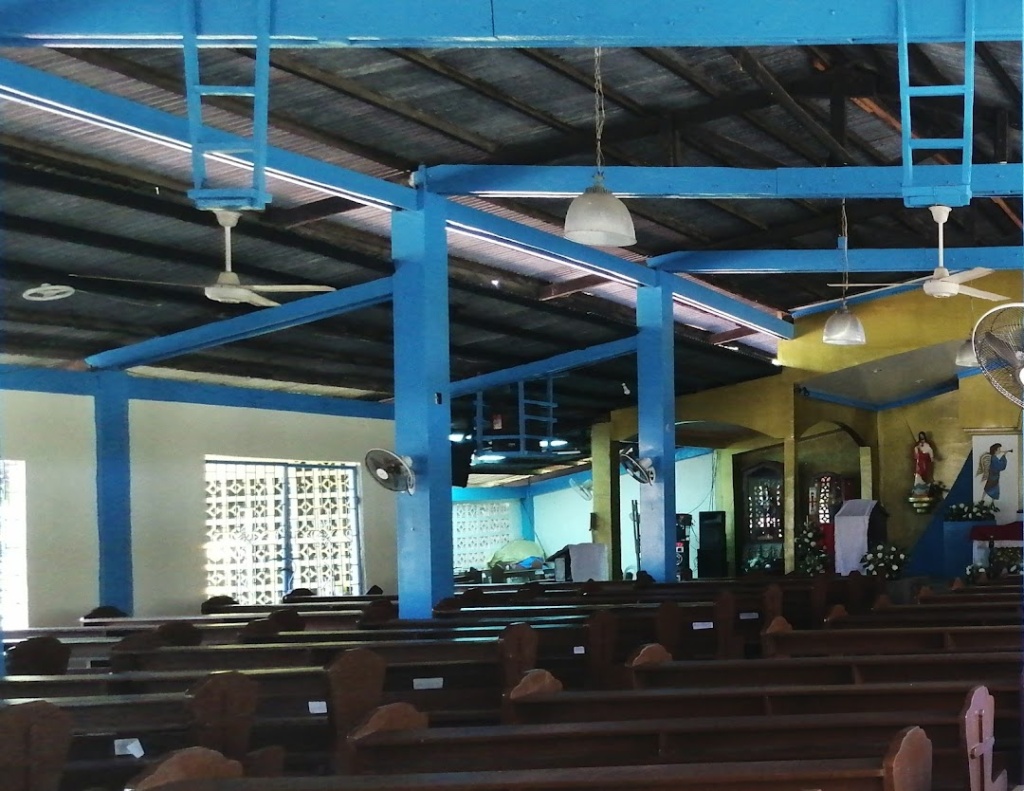
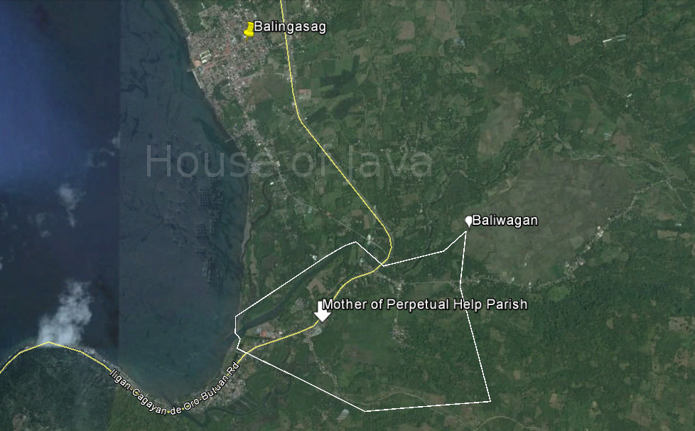
Mother of Perpetual Help Parish
| Website: | no website found |
| Facebook: | no page found |
| Email: | no email found |
| Landline: | no number found |
| Mobile: | no number found |
| Municipal: | Balingasag |
| Barangay: | Baliwagan |
| Address: | CdO - Butuan Highway |
| Google Map: | Mother of Perpetual Help Parish |
United Pentecostal Church
St. Rita de Cascia Church
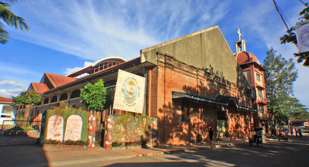
Construction of the brick church (Sta. Rita de Cascia Church) is said to have started in 1892 by the Jesuits and finished in 1895 at the present location as the original wooden church near the coast was eventually destroyed by an encroaching sea. The lower level is made of bricks while the upper level made of wood. Two wooden belfries stood at the sides and three altars were installed.
During World War II, the guerrillas hastily burned the church because Japanese soldiers were stationed there. After the war, only the stone structure was left standing. (Source)
Blog about… THE OLD BRICK CHURCH OF BALINGASAG: Its Loss and Reconstruction by “OldBulletsBiker”
| Website: | no website found |
| Facebook: | St. Rita de Cascia Church |
| Email: | no email found |
| Landline: | no number found |
| Mobile: | no number found |
| Municipal: | Balingasag |
| Barangay: | Brgy. 3 |
| Address: | Tres Martines Street |
| Google Map: | St. Rita de Cascia Parish |
Balingasag LightHouse
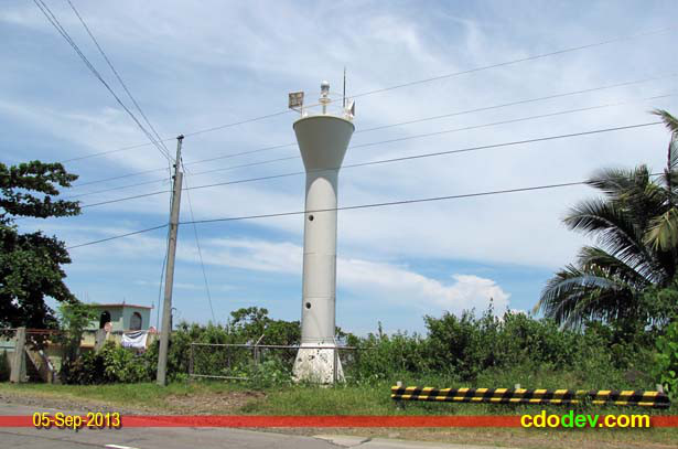
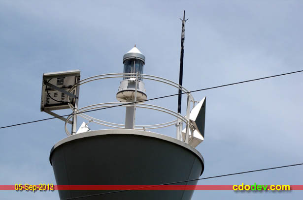
(Source)
Solar-powered lighthouse
| I . LIGHTHOUSE |
CHARAC |
LOCATION |
LATITUDE |
LONGITUDE |
LIGHT CHARAC |
STATUS |
| CGS CAGAYAN DE ORO | ||||||
| 2. LS Balingasag |
T |
Balingasag, Misamis Oriental |
08 42′ 24″ N |
124 44′ 45″ E |
Fl W ev 5 secs |
under MSIP–III |
Maritime Safety Improvement Project Phase III (MSIP–III)
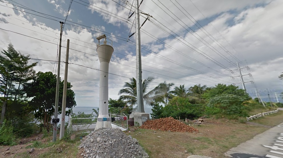
Date; unknown. Active; focal plane about 12 m (39 ft); white flash every 10 s. 9.5 m (31 ft) white round hourglass-shaped tower.
The lighthouse is inconspicuous in Google’s satellite view. Located on Punta Gorda, a headland about 10 km southwest of Balingasag. Site open, tower closed. Admiralty F2264.5; NGA 15099. (Source)
| Website: | no website found |
| Facebook: | no page found |
| Email: | no email found |
| Landline: | no number found |
| Mobile: | no number found |
| Municipal: | Balingasag |
| Barangay: | Hermano |
| Address: | Punta Gorda, Cagayan-Butuan Hiway |
| Google Map: | Balingasag Lighthouse |
