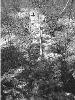
The ruin is located on top of a limestone formation overlooking Macajalar Bay. The site is situated beside the Amoros River. The site has geographic coordinates of 8°31’50” north latitude and 124°33’12” east longitude with an average elevation of 31 masl. The materials were made of dressed coral stones bound with lime forming a rectangular structure. The hill is privately owned by Mr. Gaudencio Piit. According to the locals, the areas was known as Karaang Lungsod, thus the site was recorded as Karaang Lungsod Ruins.
Earthenware sherds, stoneware sherds, and porcelain sherds were recovered. Majority of the porcelain sherds were Kitchen Qing. (Source)
This site is on a private property, so please talk to the owner first, before visit.
| Website: | no website found |
| Facebook: | no page found |
| Email: | no email found |
| Landline: | no number found |
| Mobile: | no number found |
| City: | El Salvador |
| Barangay: | Molugan |
| Address: | no street address found |
| Google Map: | Karaang Lungsod Ruins |
| Add. Info: | none |