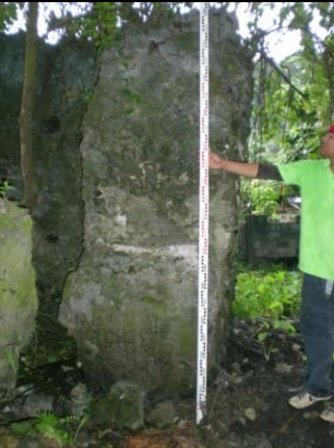
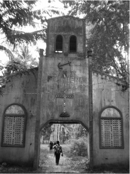
Another stone ruins, made of coral stones, was identified and
documented by the team. It is located in Barangay Baukbauk. The ruin has a rectangular formation measuring 23 m x 11 m (Figure 22). The team was informed that the ruins were used as a fence in the early 1940s in manufacturing abaca (Musa sp.) for textile. At present, a chapel of San Roque, built in 1970s, is located inside the perimeter of the ruins. The area is situated beside the beach overlooking the island of Lapinig. Tradeware ceramics associated to the late 17th to 19th centuries CE and earthenware sherds were recovered at the site. The ruin was named San Roque (X-2008-Q3).
(Source)

| Website: | no website found |
| Facebook: | no page found |
| Email: | no email found |
| Landline: | no number found |
| Mobile: | no number found |
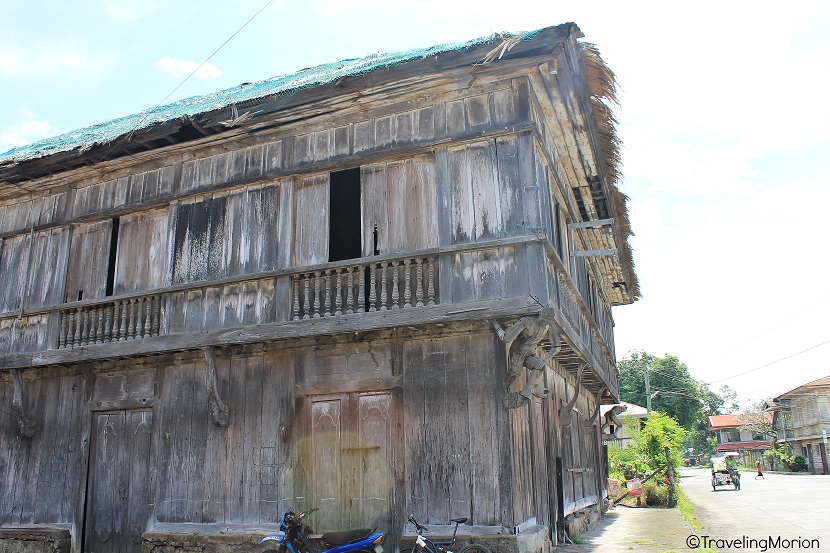
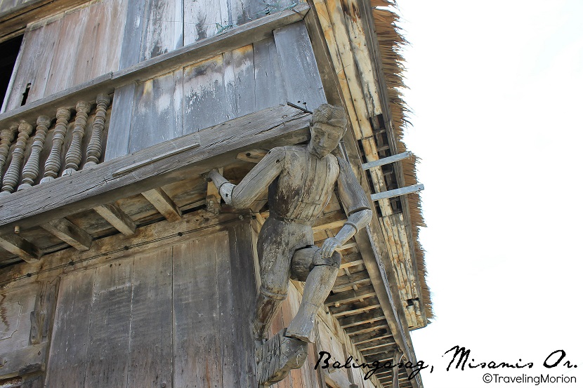
| Municipal: | Balingoan |
| Barangay: | Baukbauk |
| Address: | no street address found |
| GPS Location: | approx. |
| Add. Info: | none |

 (
(

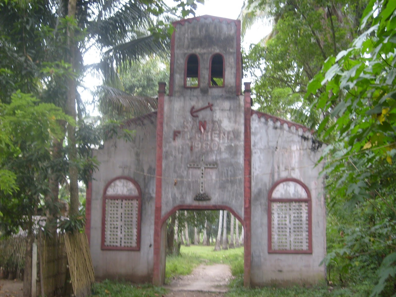
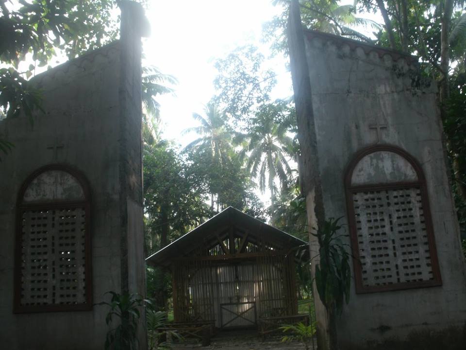
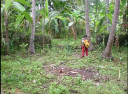
 An Archaeological open site has been identified in Barangay Baliwagan,particularly at the abandoned Santa