Category Archives: History

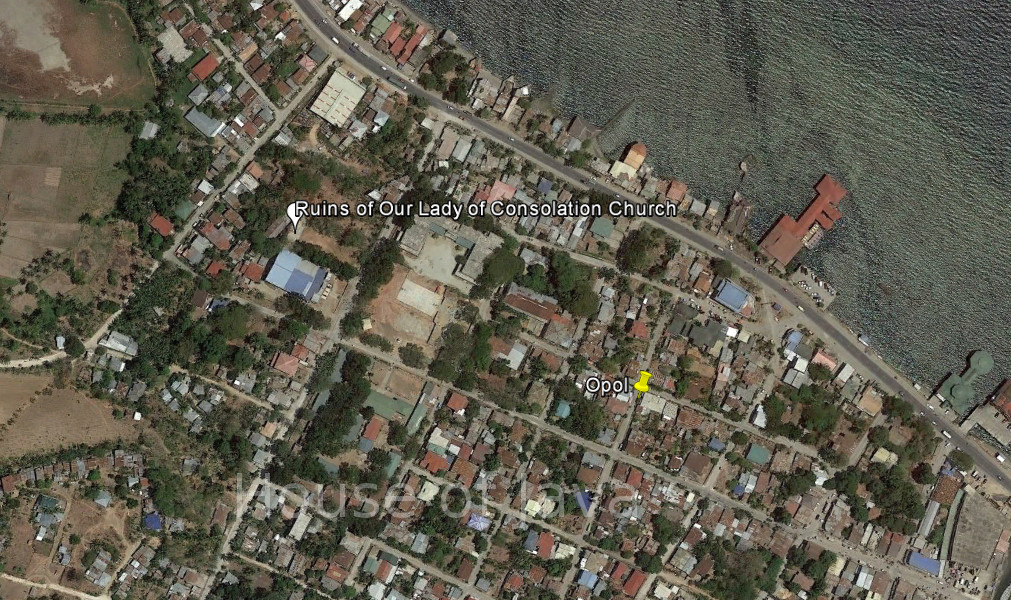
Ruins of Our Lady of Consolation Church

Poblacion Ruins

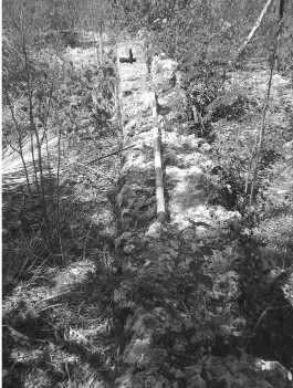
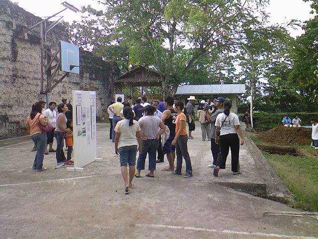
An archaeological team from the University of the Philippines (UP) have found old wooden slabs believed to be the foundation of a 16th-century church on top of a hill in this fishing town in Misamis Oriental.

The team spent three weeks feverishly sifting through tons of dirt until they found the wooden slabs on the right corner of the present day Our Lady of Consolation Parish church in Opol, where the ruins of old church walls can still be seen.

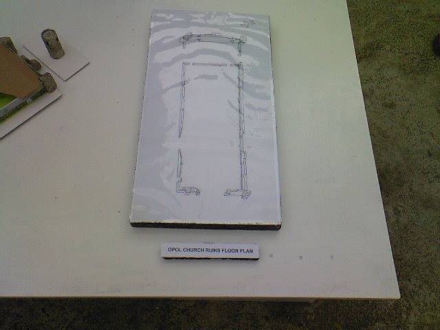
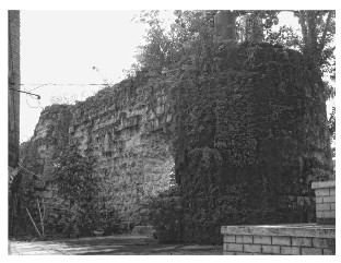
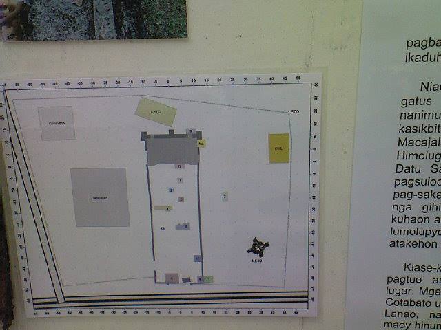
The Poblacion Ruins (X-2007-K3) exhibits vivid structural design
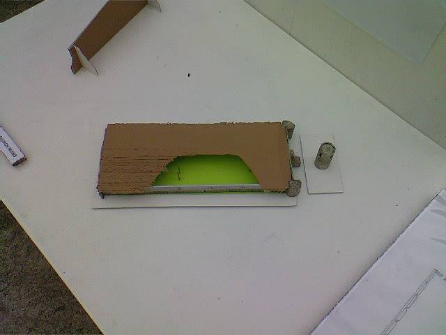
with both lateral walls still present. The ruins has a rectangular formation and made of corals. The site has been excavated by the University of the Philippines – Archaeological Studies Program (UP – ASP) in 2008 (ASP 2009). It has a single nave formation measuring 60 m x 22.5 m composed of two floors supported by wooden beams of Molave (Vitexparviflora Juss). (Source)
(Source)

Website:no website found
Facebook:no page found
Email:no email found
Landline:no landline found
Mobile:no mobile found
City/Municipal:Opol
Barangay:Pobalcion
Address:
Google Map:Ruins of Our Lady Of Consolation Church

Alejo Serina Ancestral House

No picture of Alejo Serina Ancestral House yet.

But Alejo Serina is mentioned on the Plaza de los Heroes monument.

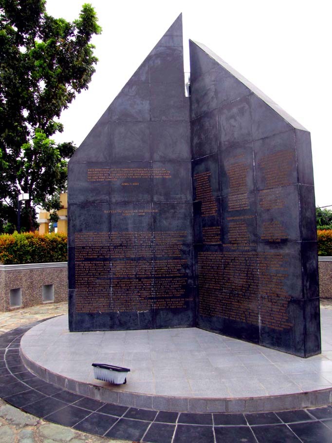
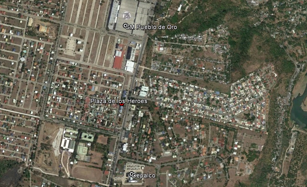
Plaza de los Heroes is a memorial dedicated to the heroes of the three historic battles of Cagayan de Misamis during the Philippine-American War namely: Battle of Cagayan de Misamis (April 7, 1900), Battle of Agusan Hill (May 14, 1900), and Battle of Makahambus Hill (June 4, 1900).

The monument is located at Masterson Mile in Pueblo de Oro in uptown Cagayan de Oro City and was inaugurated on June 4, 2004. The events and names of the heroes are engraved in the black marble stones.


Alejo Serina, Opol (Source)

CdO Mayor Oscar Serina Moreno  is a descendant of Cagayan de Oro hero ALEJO SERINA.

Website:
Landline:
Mobile:
Municipal: Opol
Barangay: Poblacion
Address:
Email:

Save

Save

Save

Karaang Lungsod Ruins

The ruin is located on top of a limestone formation overlooking Macajalar Bay. The site is situated beside the Amoros River. The site has geographic coordinates of 8°31’50” north latitude and 124°33’12” east longitude with an average elevation of 31 masl. The materials were made of dressed coral stones bound with lime forming a rectangular structure. The hill is privately owned by Mr. Gaudencio Piit. According to the locals, the areas was known as Karaang Lungsod, thus the site was recorded as Karaang Lungsod Ruins.
Earthenware sherds, stoneware sherds, and porcelain sherds were recovered. Majority of the porcelain sherds were Kitchen Qing. (Source)

This site is on a private property, so please talk to the owner first, before visit.

Website:no website found
Facebook:no page found
Email:no email found
Landline:no number found
Mobile:no number found
City:El Salvador
Barangay:Molugan
Address:no street address found
Google Map:Karaang Lungsod Ruins
Add. Info:none

St. Joseph Academy Ruins

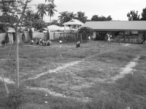
Stone ruins were found inside the premises of St. Joseph Academy School in Barangay Poblacion. The area is located adjacent to the Macajalar Bay with geographic coordinates of 8°33’46” north latitude and 124°31’22” east longitude. The ruin is only visible on the ground level forming a long rectangular formation. The construction material is corals. The area was probably used as a church during the Spanish period because of its structural dimension and formation. (Source)

Website:no website found
Facebook:no page found
Email:no email found
Landline:no number found
Mobile:no number found
City:El Salvador
Barangay:Poblacion
Address:no street address found
Google Map:St. Joseph Academy

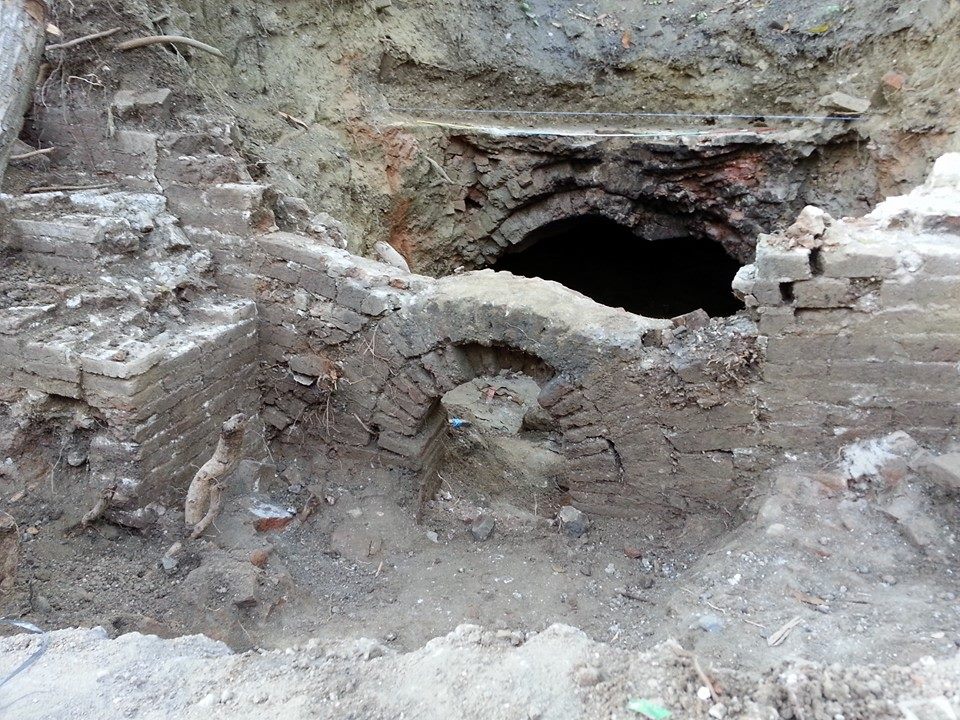
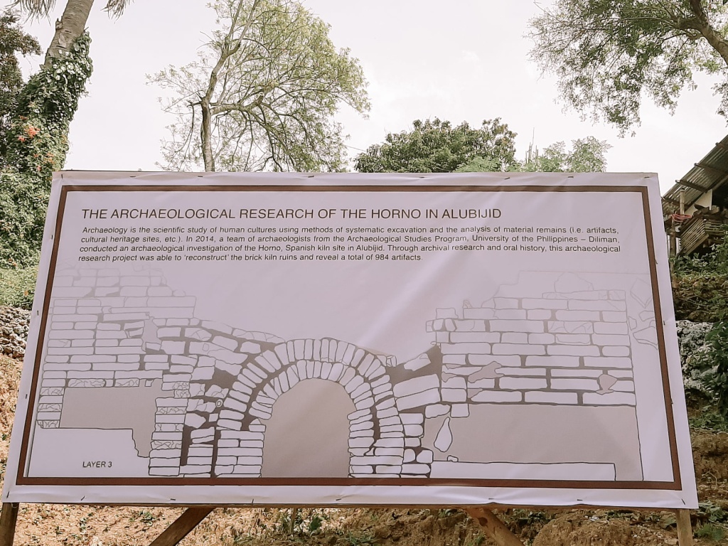
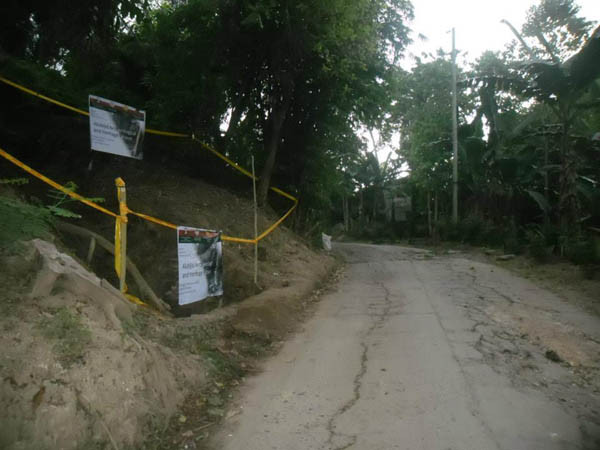
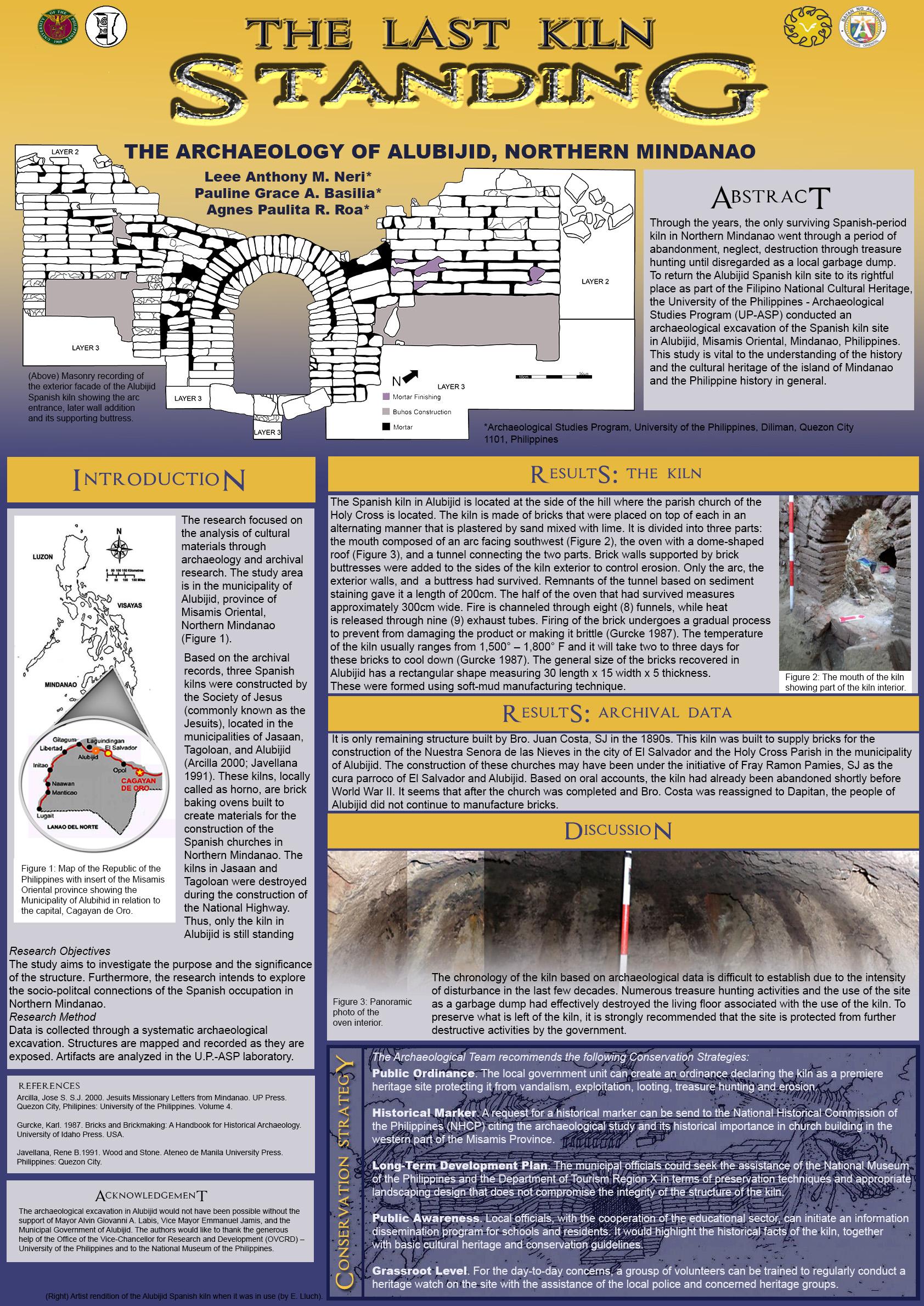
Spanish Kiln


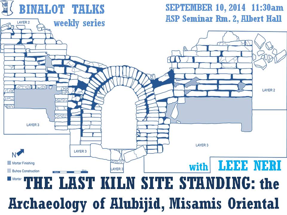
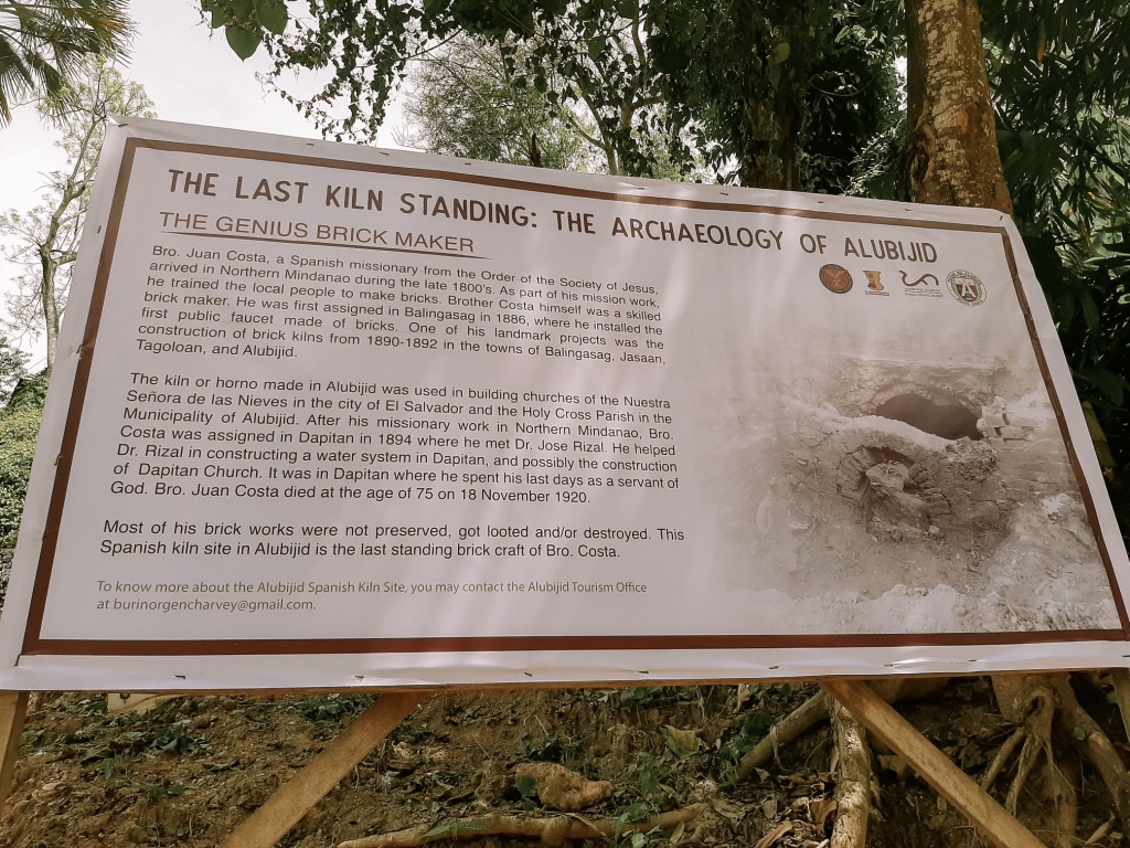
The kiln is the only one left in the Northern Mindanao area, according to the local government unit of Alubijid in Misamis Oriental.

A study by UP Professor Lee Neri showing the kiln is believed to be built by a Jesuit brother named Juan Costa during the Spanish period.” Interestingly, the bricks from the said kiln may have been used to build the Baclayon Church, considered the oldest in the country,” it said.


During the Spanish colonial period, El Salvador was part of the pueblo of Alubijid. In 1865, a royal decree was issued separating Alubijid from the town of Yligan (now Iligan). It was established like an independent parish with two visitas namely El Salvador and Molugan. In 1878, these visitas were turned over to the Jesuits by the Agustinian Recollects who were in Misamis Province since 1622.

It was about this time that Bro. Juan Costa was sent to work in northern Mindanao. He was from Barcelona, Spain and entered the Society of Jesus as a brother in 1867. Costa was considered a genius in brick making. He was responsible for the construction of the water system in Balingasag and trained many people on how to make bricks. He then set up brick making kilns or hornos in Jasaan, Tagoloan and Alubijid.

When the first ever bridge that spanned the poblacion of Cagayan de Misamis (Cagayan de Oro) to Carmen was constructed around 1893 or 1894, it was reported that a horno was set up near the work site to make the bricks needed for the construction of the bridge. It could be that Bro. Costa supervised the brick making for that ill-fated bridge. However, there is no record on the name of the brick maker and what happened to the horno after the work on the bridge was completed.

Based on archival records, the three brick making ovens or hornos were put up by the Spanish Jesuits to help construct their churches in northern Mindanao like the Holy Cross Parish Church in Alubijid, the Nuestra Sra. de las Nieves Church in El Salvador and the Immaculada Concepcion in Jasaan. Unfortunately, the kilns in Jasaan and Tagoloan were demolished when the Butuan to Iligan national highway was built in the 1970s since they were located by the roadside.

Many Alubijid residents take pride of the fact that their bricks were exported to Bohol and were used in building the famous Baclayon church there. This church is one of those declared as a national cultural treasure and is however, around three centuries old while the horno of Alubijid is over a100 years old. It could be that some parts of this church were renovated and prime Alubijid bricks were used as the building materials.

(Source)

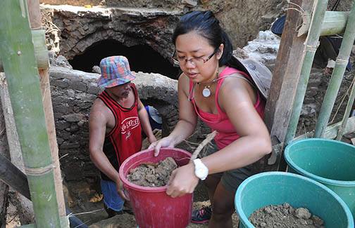
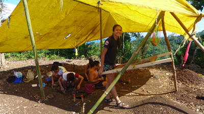
ARCHEOLOGICAL DIG. Prof. Pauline Basilia of the University of the Philippines takes out a pail of dirt from the Spanish brick making kiln archeological site in Alubijid town, Misamis Oriental on May 1, 2014. (Source)

Website:no website found
Facebook:no page found
Email:no email found
Landline:no number found
Mobile:no number found
Municipal:Alubijid
Barangay:Poblacion
Address:no street address found
Google Map:Spanish Kiln

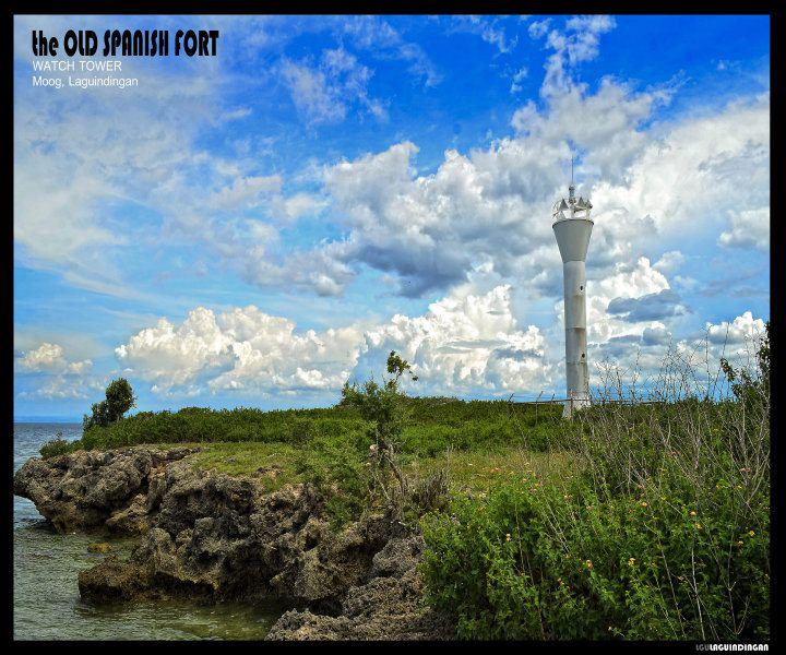
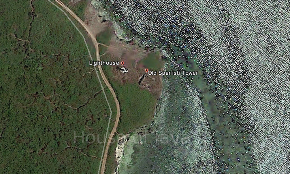
Old Spanish Tower

The name of the ruins is locally known as Cuta sa Punta Sulauan
(X-2007-U4) and is owned by the Ayala Corporation. The ruins were constructed on top of the limestone cliff overlooking the Macajalar and Iligan Bays.
The structure was made of dressed coral stones bonded with mortar. It has a rectangular formation and the remains of the walls have an average thickness of 70 – 80 cms with a maximum height of 2 – 2.5 m. The area has a dimension of 9 m x 5.5 m.
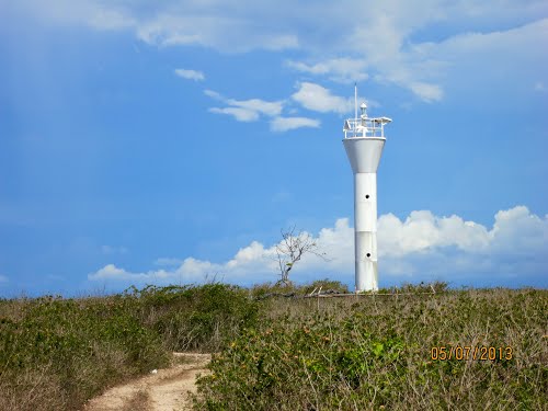
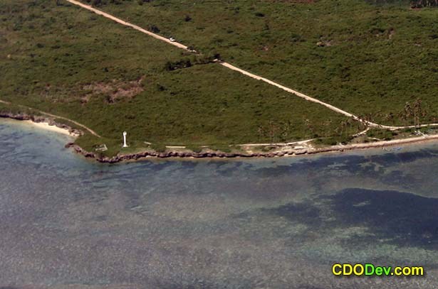
A new ‚parola‛ or lighthouse, which was constructed in 2002, is located on the western side of the ruins.

Laguindingan Lighthouse

Commonly called “Punta Sulawan” or Sulawan Point.
Date unknown. Active; focal plane unknown; white flash every 10 s. 9.5 m (31 ft) round steel and fiberglass tower, flared at the top and bottom. Entire lighthouse is white.  Located on a promontory near the Laguindingan Airport, marking the west side of the entrance to Macajalar Bay. Site open, tower closed. Admiralty F2267; NGA 15094.


(Source)

Today, the “Cuta sa Punta Sulauan” has slowly drawn the interest of local sightseers because of the stunning view of sunrise that could be enjoyed on the site with its surrounding landscape.

Website:no page found
Facebook:no page found
Email:no email found
Landline:no number found
Mobile:no number found
City/Municipal:Laguindingan
Barangay:Moog
Address:no street address found
Google Map:Old Spanish Tower

Dako na Ilihan

Dako na Ilihan (big natural fortress)

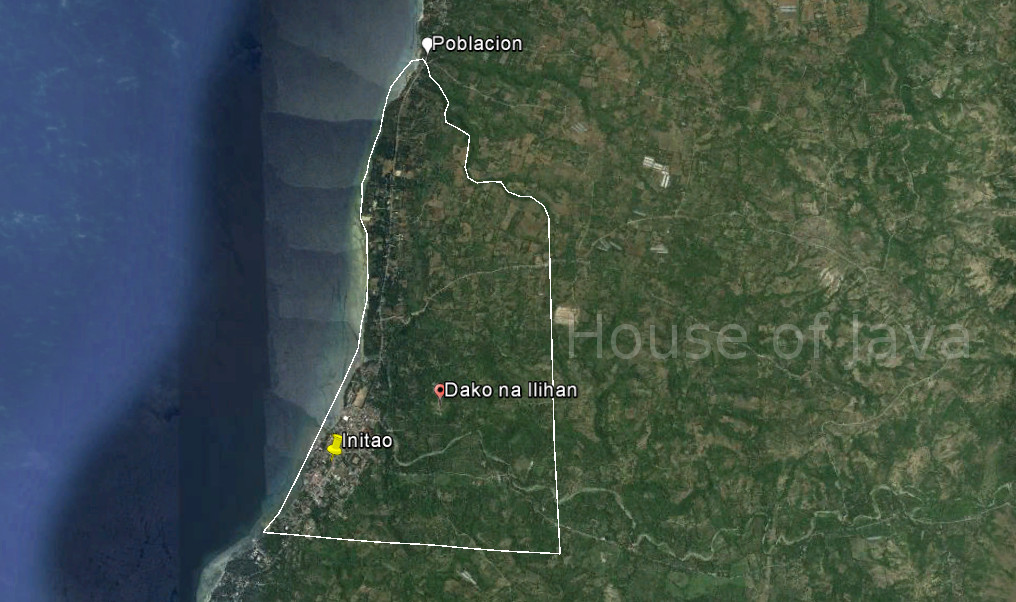
The ilihans or natural fortresses in Initao were believed to be used even before the Spaniards came to the district. Ms. Vismin Lozano, a Higaunon and former Department of Interior and Local Government of Initao, narrated that these natural fortresses were the refuge of the women and children of Higaunon, the earliest known settlers of Initao, when raiders would attack their community. According to their local history there were constant battles waged between the Moro and the Higaunon. Ilihans were used as the primary strategy of the Higaunon to protect their community. Ms. Lozano mentioned that Spaniards later used these natural fortresses to build clay bricked-watchtowers as these hills make perfect vantage points to see the arrival of people both by water and by land. Today, the Dako nga Ilihan is now privately owned by the current mayor of Initao, Mayor Enerito Acain V. The Mayor plans to make the large natural fortress a historical tourist spot by 2016.

Dako nga Ilihan is a large hill, surrounded by heavy forestation, at a location that overlooks the sea to the west. The site also has a vantage point of Gamay nga Ilihan to the north. To get to the site, one must walk a 30-minute to 1-hour trek from the sentro of the town to reach the top of the hill. (Source)

The site is on private property

Website:no page found
Facebook:no page found
Email:no email found
Landline:no number found
Mobile:no number found
City/Municipal:Initao
Barangay:Poblacion
Address:no address found
GPS Location:
more Info:

Save

Save

Gamay na Ilihan

Gamay na Ilihan (small natural fortress)
The site is a hill located beside the Initao River.

See description on Dako na Ilihan

(Same location as Dako na Ilihan)

The site is on private property.

Website:no page found
Facebook:no page found
Email:no email found
Landline:no number found
Mobile:no number found
City/Municipal:Initao
Barangay:Poblacion
Address:no address found
GPS Location:
more Info:

Save

Save