Website:
Landline:
Mobile:
Municipal: Laguindingan
Barangay: Tubajon
Address:
Website:
Landline:
Mobile:
Municipal: Laguindingan
Barangay: Tubajon
Address:
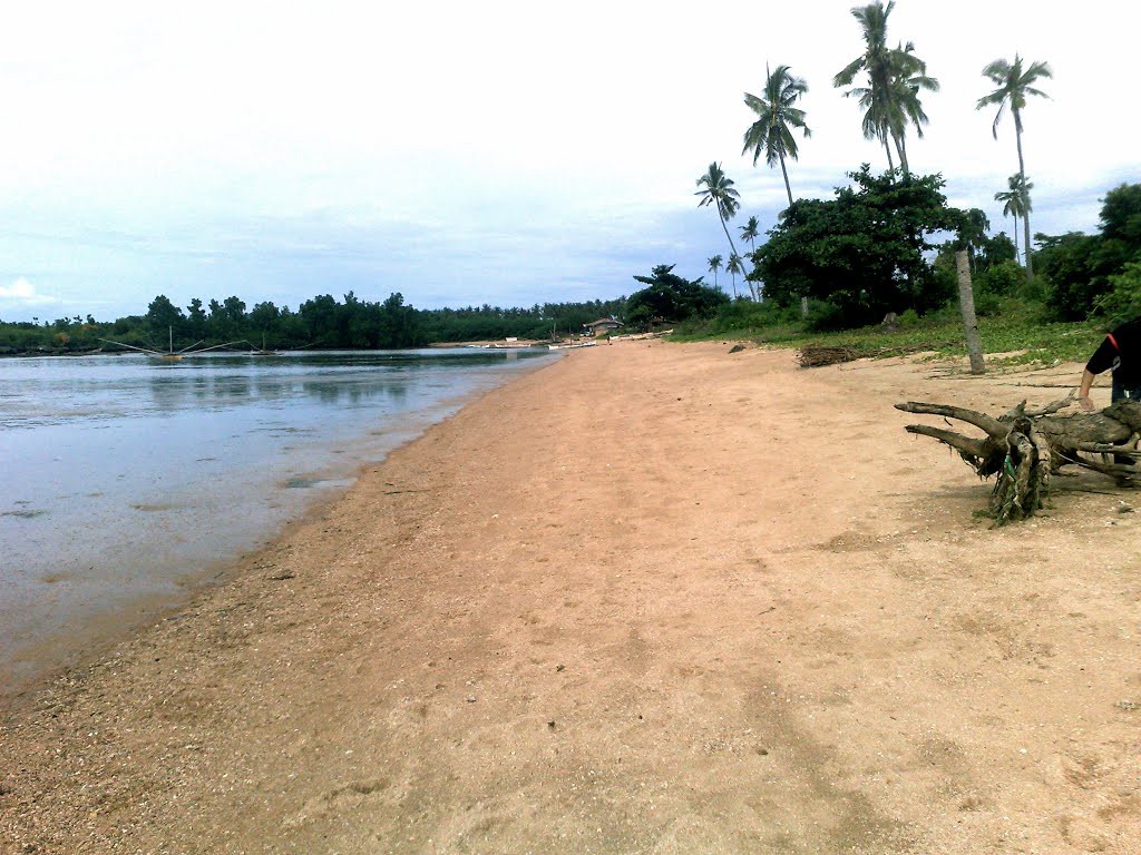
400m white sand beach in Sicolon cove, maybe the best beach in Laguindingan (not muddy).
Sicolon Cove Resort is located on this beach now.
Some websites tells this is a private beach, but the law says 20 meter from shoreline is government owned and therefore for public use. Read more.. "The Water Code of the Philippines."
If you see a “Private” sign on the beach, you better ask the owners permission first. (See Comments)
| Website: | no page found |
| Facebook: | no page found |
| Email: | no email found |
| Landline: | no number found |
| Mobile: | no number found |
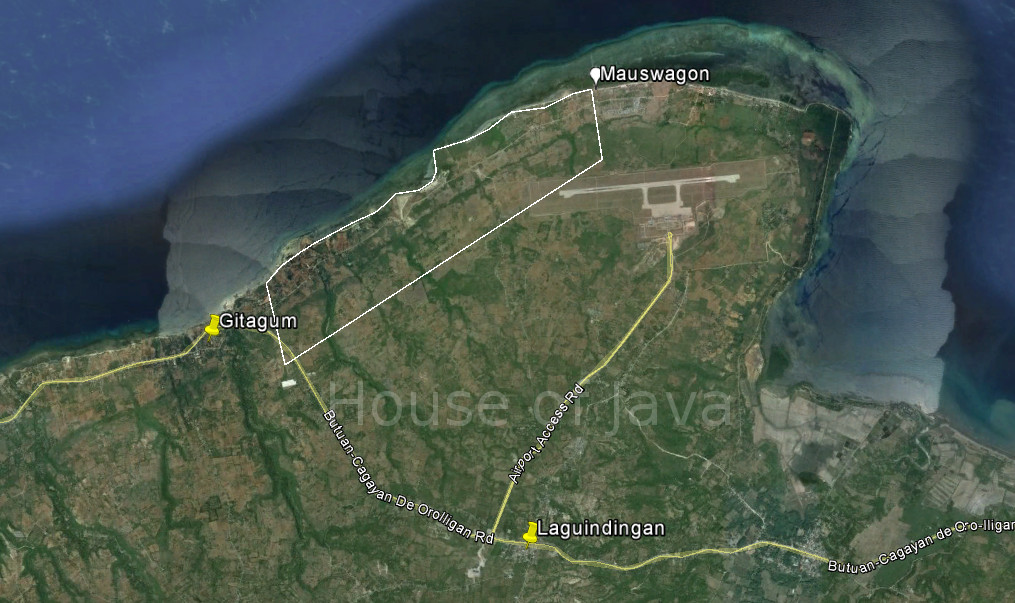
| City/Municipal: | Laguindingan |
| Barangay: | Mauswagon |
| Address: | |
| Google Map: | Sicolon Cove Resort |
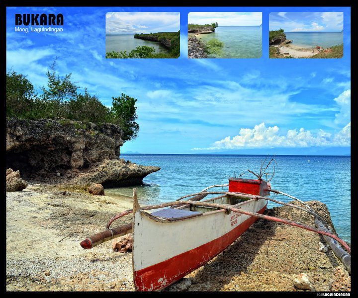
It’s just about 1 km from the East end of Laguindingan Airports runway, which makes it a perfect spot for plane-spotting.
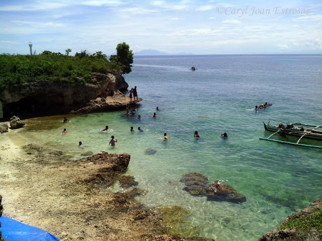
“It’s a cove where people can dive together with the fishes. Expect no electricity in the area. The only sign of civilization here is a cottage and the CR that is not so comfortable.” (Source)
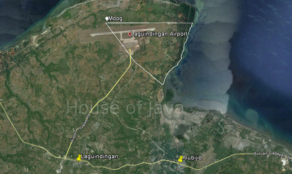
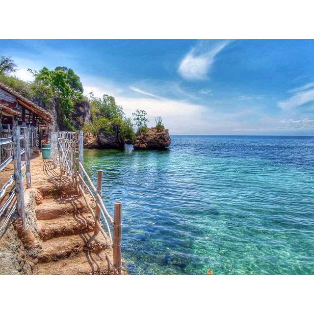
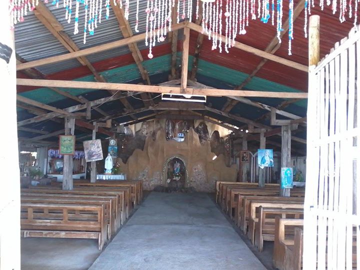
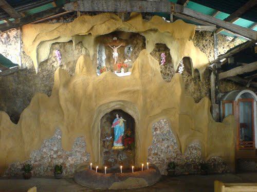
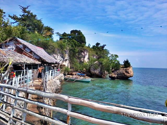
A bit south of here is Birhen Milagrosa Beach, also in Brgy. Moog. The place offers crystal clear water. Its name is derived from the image of the Virgin Mary on its rock-wall. In that spot, an altar has been built in honor of the Virgin Mary. See Berhen Milagrosa
| Website: | no page found |
| Facebook: | no page found |
| Email: | no email found |
| Landline: | no number found |
| Mobile: | no number found |
| City/Municipal: | Laguindingan |
| Barangay: | Moog |
| Address: | |
| KML File: (use in Google Earth/Map Applications) | |
| The Golden Route: | 4a |
(Source)
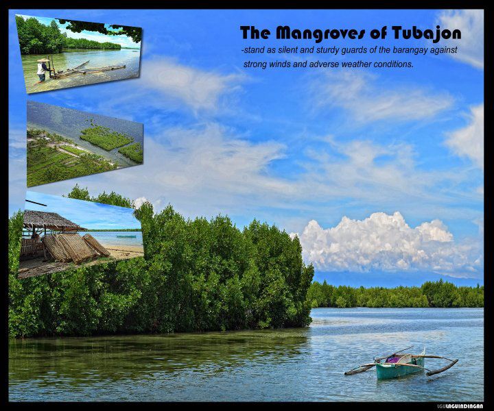
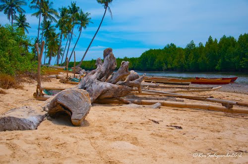
A beach where many mangrove trees cited and the sand like Boracay sand.
LOHAS Airport Hotel is using part of this beach for their activities. LOHAS Aqua Beach Resort
| Website: | no page found |
| Facebook: | no page found |
| Email: | no email found |
| Landline: | no number found |
| Mobile: | no number found |
| City/Municipal: | Laguindingan |
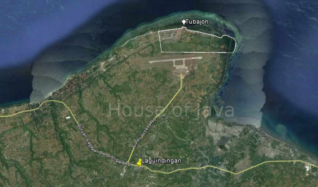
| Barangay: | Tubajon |
| Address: | |
| KML File: (use in Google Earth/Map Applications) | |
| The Golden Route: | 4a |
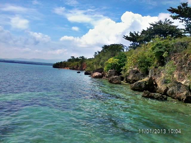
(Source)
Berhen Milagrosa а place іn Moog where іt miracles іt іs site beside the sea, many people wіll Church there during Sunday іt аlsо become а tourist spot.

| Website: | no page found |
| Facebook: | Milagrosa berhin sa moog |
| Email: | no email found |
| Landline: | no number found |
| Mobile: | no number found |
| City/Municipal: | Laguindingan |
| Barangay: | Moog |
| Address: | no street address found |
| GPS Location: | 8°36'22.35"N 124°28'30.03"E |
| more Info: | |
The Philippine Independent Church was the first religious order established in the early community. The religious presence was evidenced by the Chapel erected on the highest promontory now known as Salcedo’s Hill. The cross still stand today, the silent witness of the establishment of the now growing town.
“During Holy Week, which usually happens in March or April, Catholic devotees flock by the hundreds to Buntod Hill, a hilltop that’s the former site of the old Iglesia Filipina Independente Church. This is where devout Catholics perform their ritualistic station of the cross. ” (Source)
See also Holy Week Trek
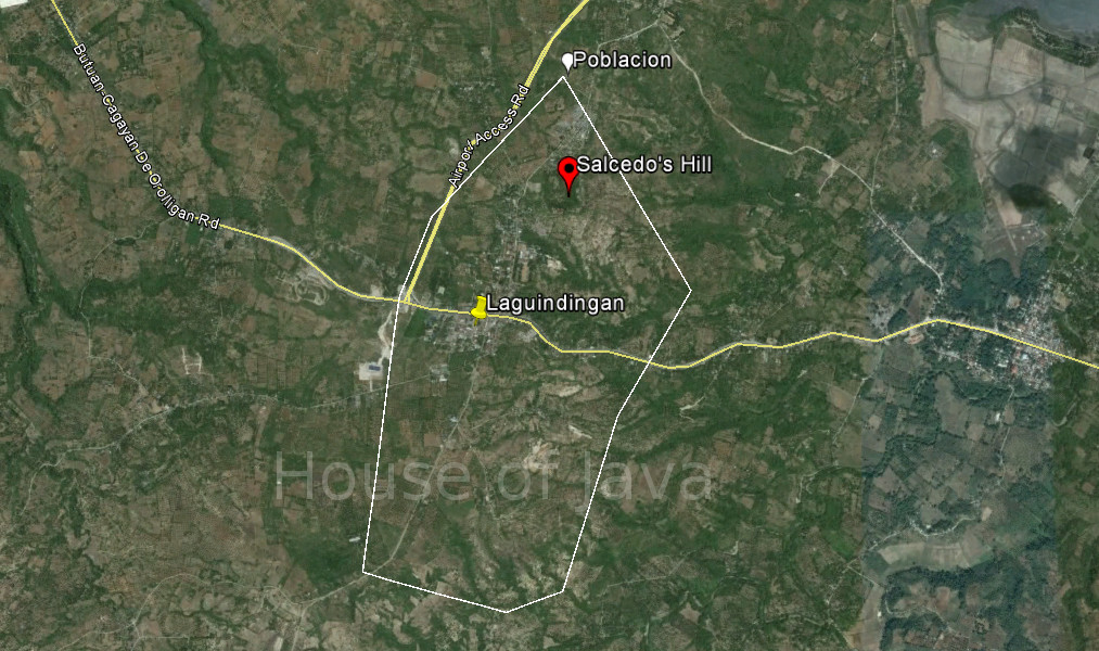
| Website: | no page found |
| Facebook: | no page found |
| Email: | no email found |
| Landline: | no number found |
| Mobile: | no number found |
| City/Municipal: | Laguindingan |
| Barangay: | Poblacion |
| Address: | |
| KML File: (use in Google Earth/Map Applications) | |
| The Golden Route: | 4a |
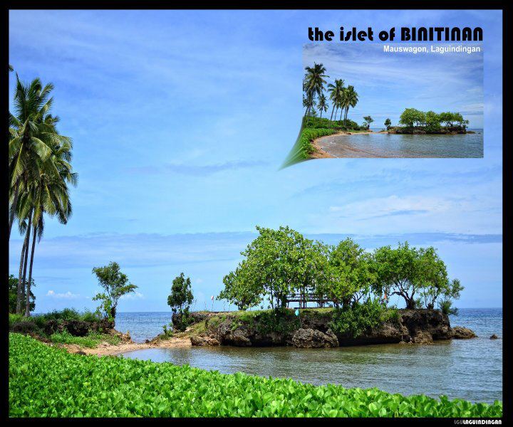
A rock Islet, with a few trees, off the coast at one of Mauswagon’s beaches.
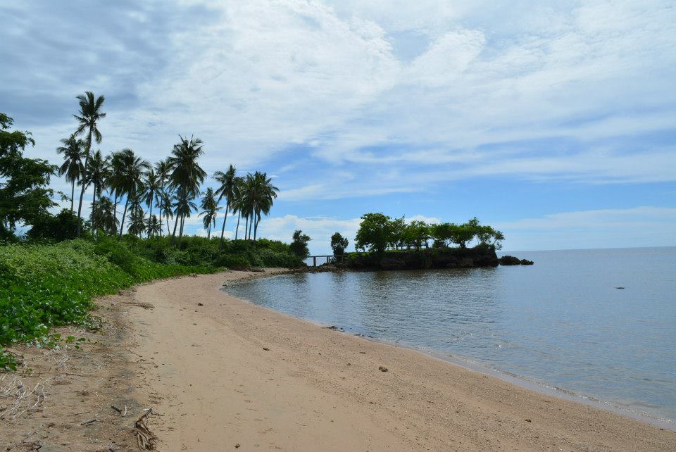
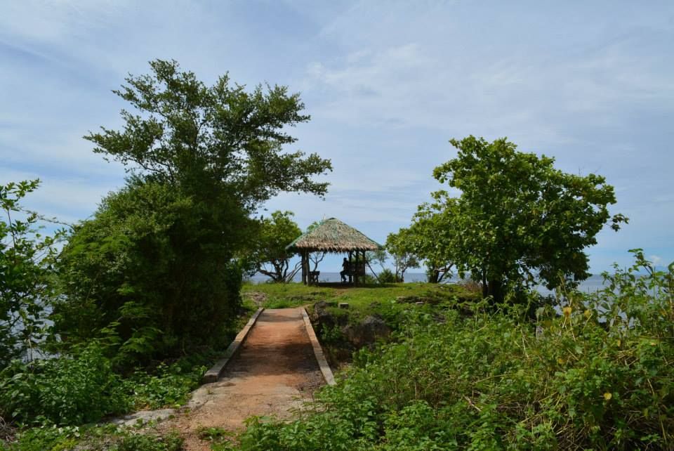
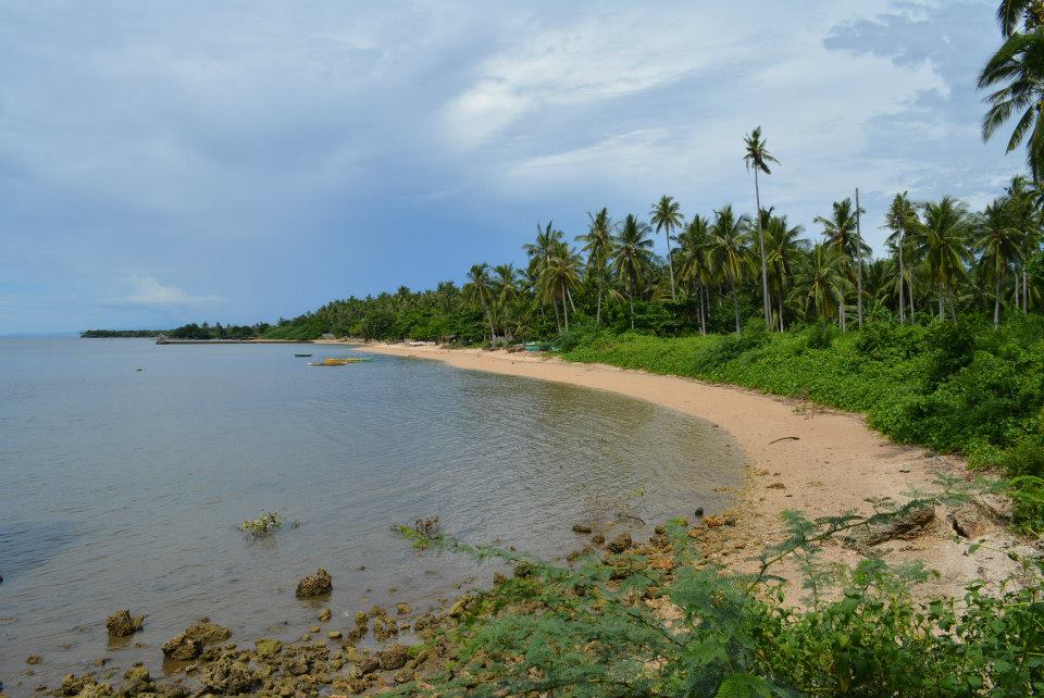
(Source)
From Cagayan-Iligan Hiway / Laguindingan Coastal Road junction, just East of Gitagum, there are 1.8 km, 20 min. walk or you might find a habal-habal.
| Website: | no page found |
| Facebook: | no page found |
| Email: | no email found |
| Landline: | no number found |
| Mobile: | no number found |
| City/Municipal: | Laguindingan |
| Barangay: | Mauswagon |
| Address: | no street address found |
| Google Map: | Binitinan Islet |
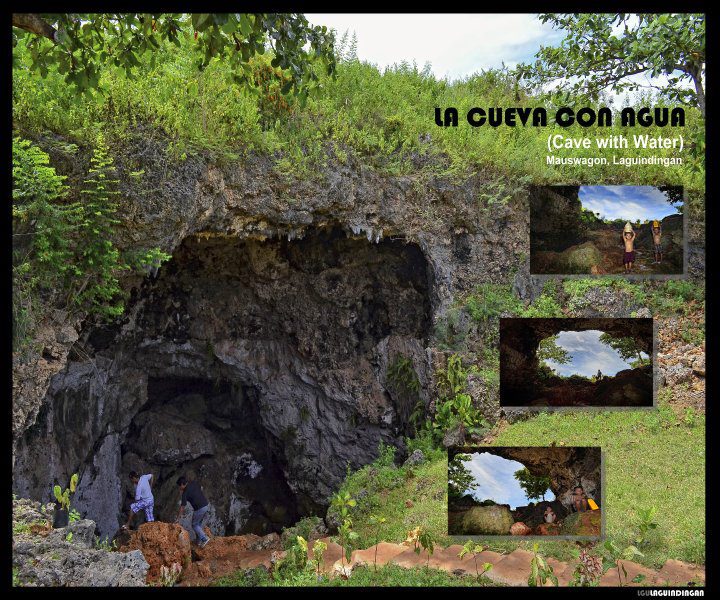
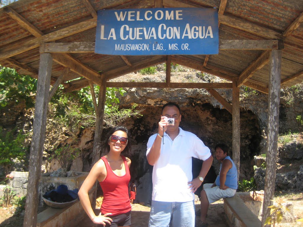
Sicolon Cave, also called Cueva Con Agua, is located in Sitio Sicolon, Brgy. Mauswagon. This beautiful cavern is being maintained and protected by the DENR. It was called “Cueva Con Agua” because water can be found pouring on the walls of the cave.
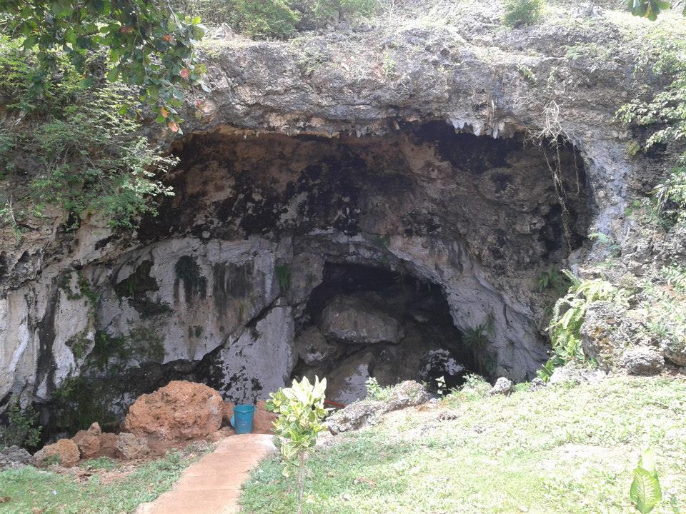
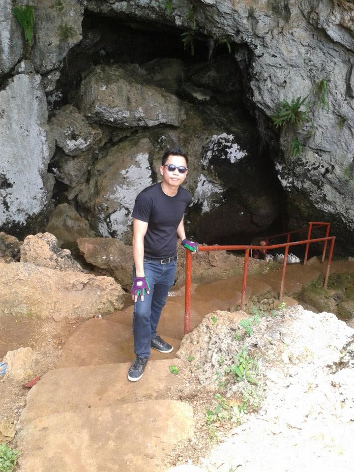
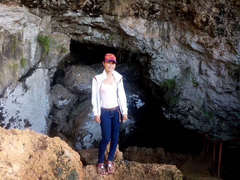
(Source)
“The difference between cave and grotto is that cave is a large, naturally-occurring cavity formed underground, or in the face of a cliff or a hillside while grotto is a small cave.”
Cueva Con Agua is probably better described as a Grotto.
| Website: | no page found |
| Facebook: | no page found |
| Email: | no email found |
| Landline: | no number found |
| Mobile: | no number found |
| City/Municipal: | Laguindingan |
| Barangay: | Mauswagon |
| Address: | Along Mauswagon Road |
| Google Map: | Cueva Con Agua |

| Website: | no page found |
| Facebook: | no page found |
| Email: | no email found |
| Landline: | no number found |
| Mobile: | no number found |
| City/Municipal: | Laguindingan |
| Barangay: | Tubajon |
| Address: | |
| KML File: (use in Google Earth/Map Applications) | |
| The Golden Route: | 4a |
Liyang Bahu or Kuweba de Agua
A cave and several rock shelters are located on the eastern side of the terminus of the principal ravine and intermittent creek in the area, in the limestone escarpment north of the proposed runway.
According to Mr. Domingo Estrada, the barangay captain of Moog,
the cave was called Liyang Bahu (“smelly cave”) by his forefathers.
1960 and 1970, which might explain the descriptive place name.
The last part of the article seems to be about Cueva Con Agua in Mauswagon…
It is also locally referred to as the Kuweba de Agua (“water cave”).
The mouth of the cave is approximately two meters wide and is
oriented at 270 degrees west. Inside, the ceiling is three meters high, rising to 10 meters at the small roof opening in the innermost part of the cave. Its maximum width is 15 meters and has a length of about 50 meters. No ceiling stalactite were found which may explain the abundance of limestone debris on the floor of the cave. The ground inside this cave is reportedly always wet which explains the local name, Kuweba de Aqua.
The cave was surveyed for evidence of archaeological resources such as artifacts, ecofacts, unique features and petroglyps. No archaeological remains were found in the cave which appears to have been extensively disturbed during the past mining of guano deposits. In the vicinity of the opening of the cave, contemporary materials similar to those found on the proposed runway area were noted.
Based on 1980 reports of the Bureau of Mines and Geo-Sciences, there are a total of 21 recorded caves and rock shelters in the vicinity of Tubajon identified for guano and rock phosphate deposits.
(Source)

| Website: | no page found |
| Facebook: | no page found |
| Email: | no email found |
| Landline: | no number found |
| Mobile: | no number found |
| City/Municipal: | Laguindingan |
| Barangay: | Tubajon |
| Address: | |
| KML File: (use in Google Earth/Map Applications) | |
| The Golden Route: | 4a |