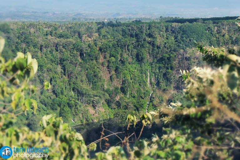
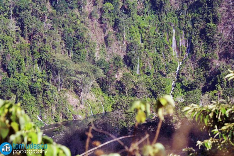
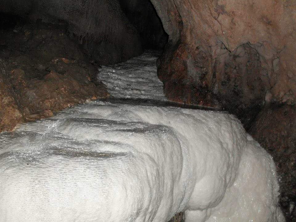
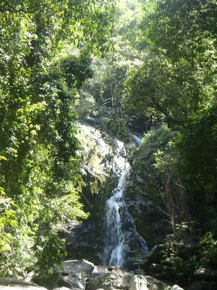
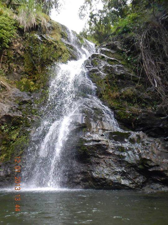
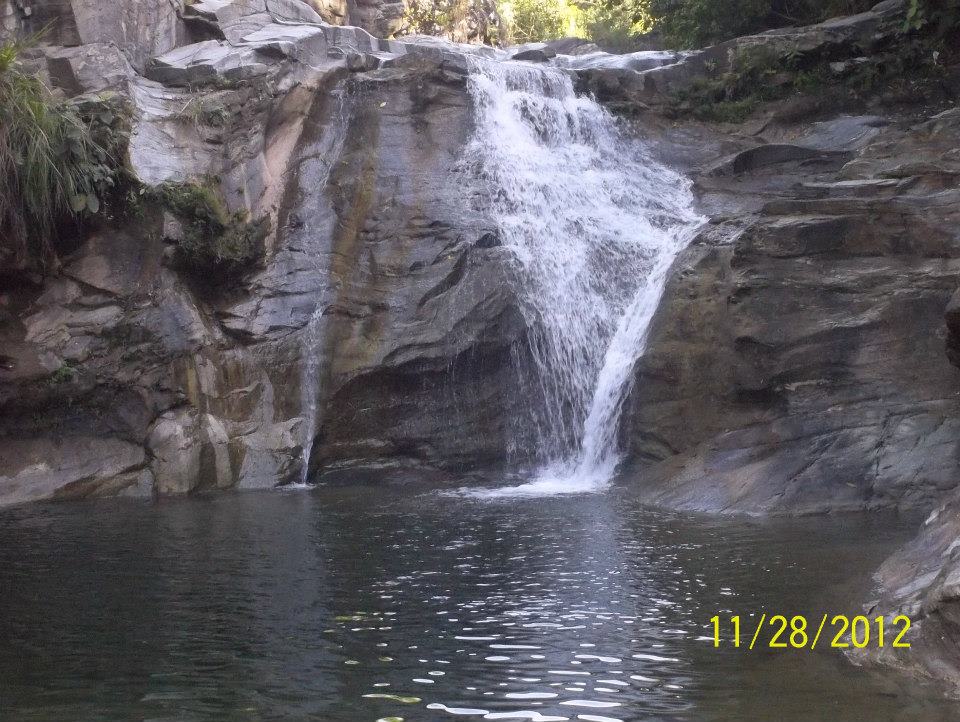
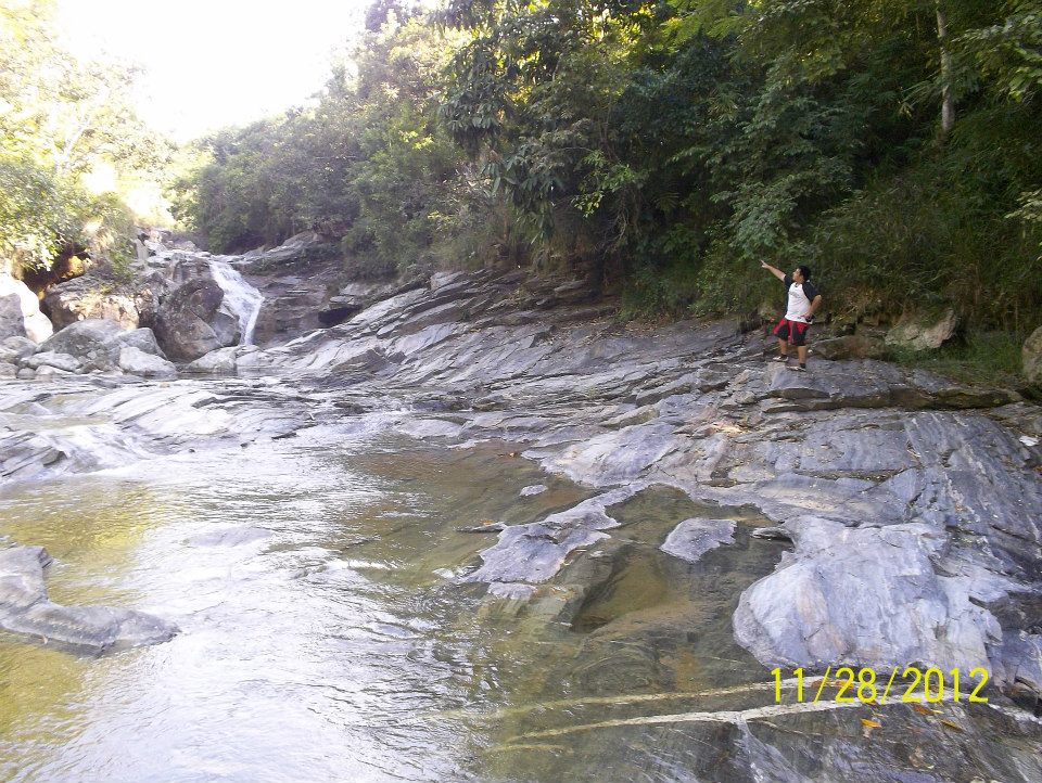
Also known as Manlumot Falls
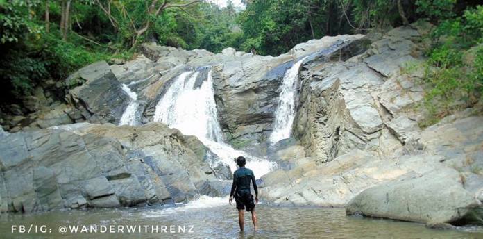
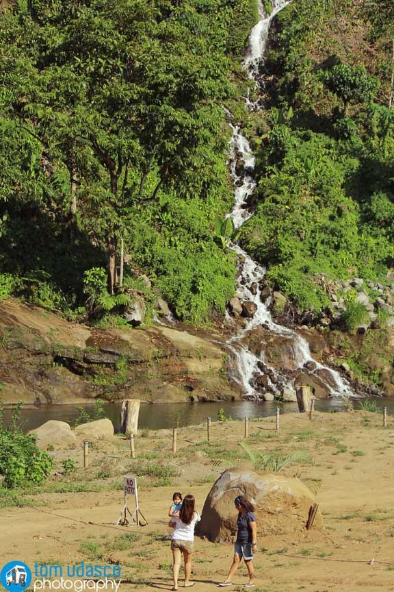
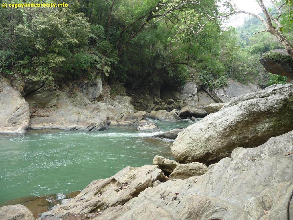
Lower Falls
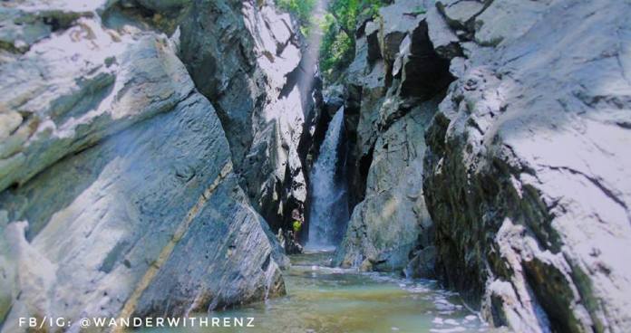
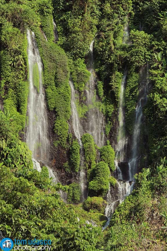
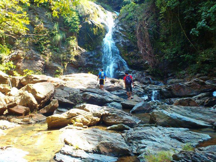
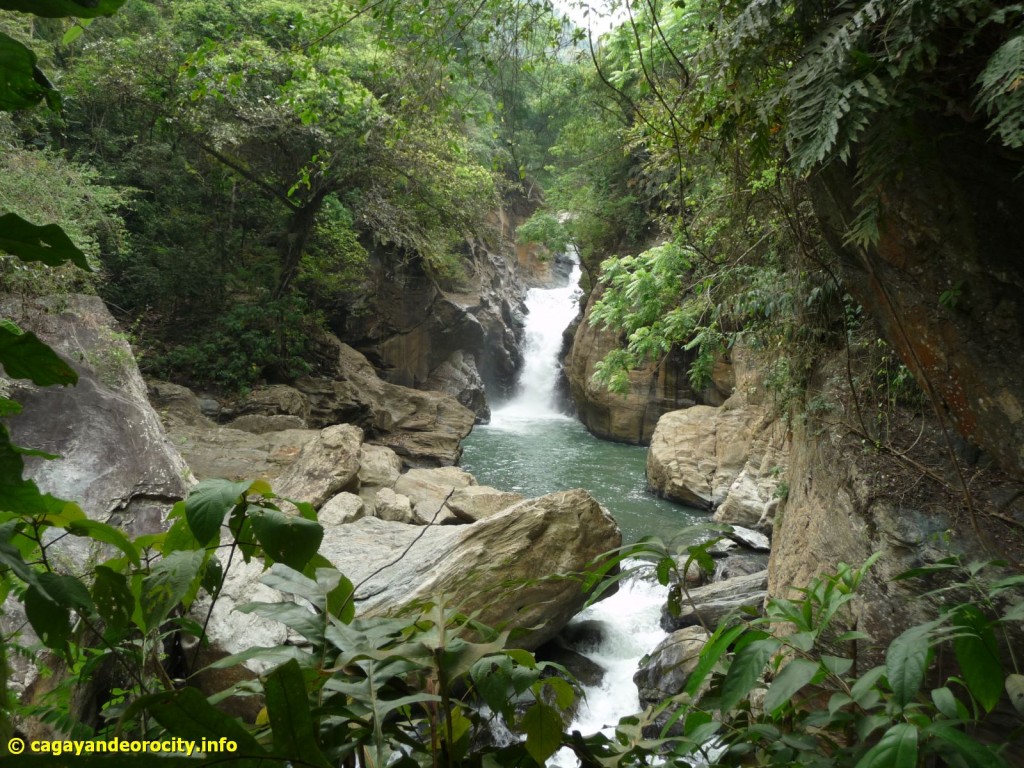
Upper Falls
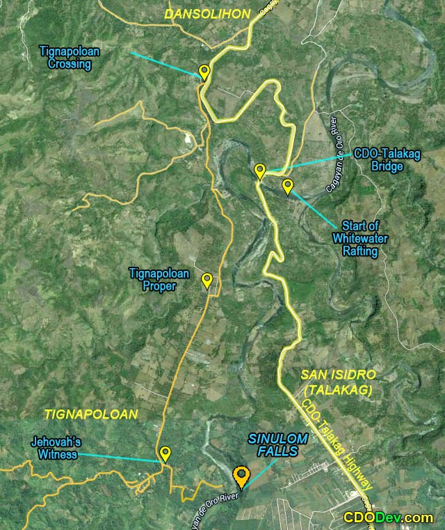
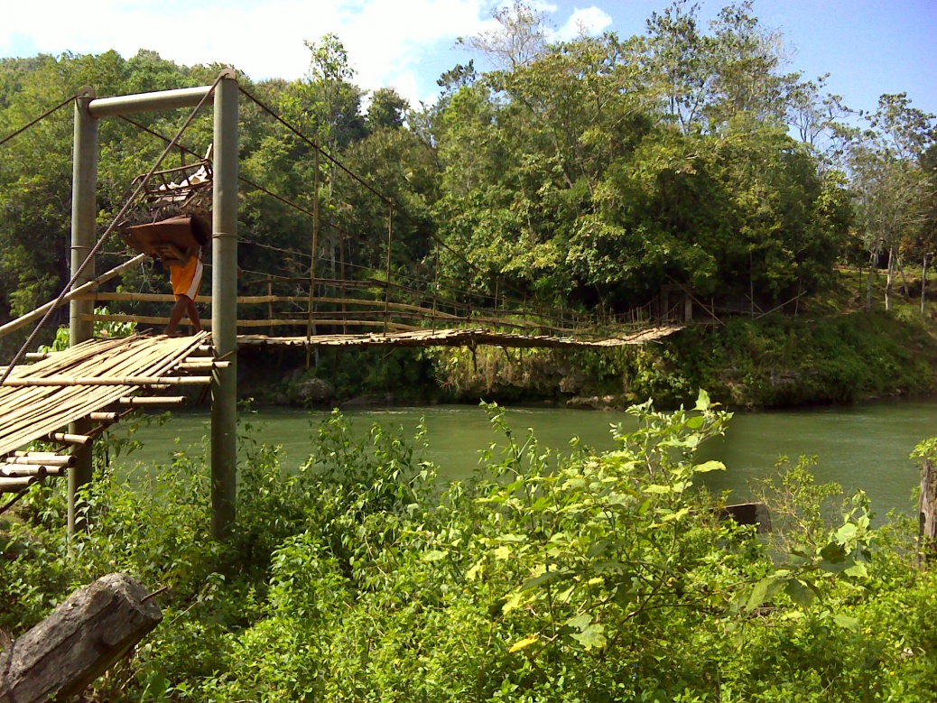
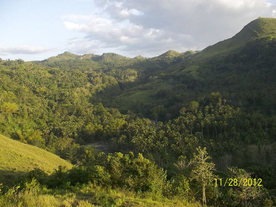
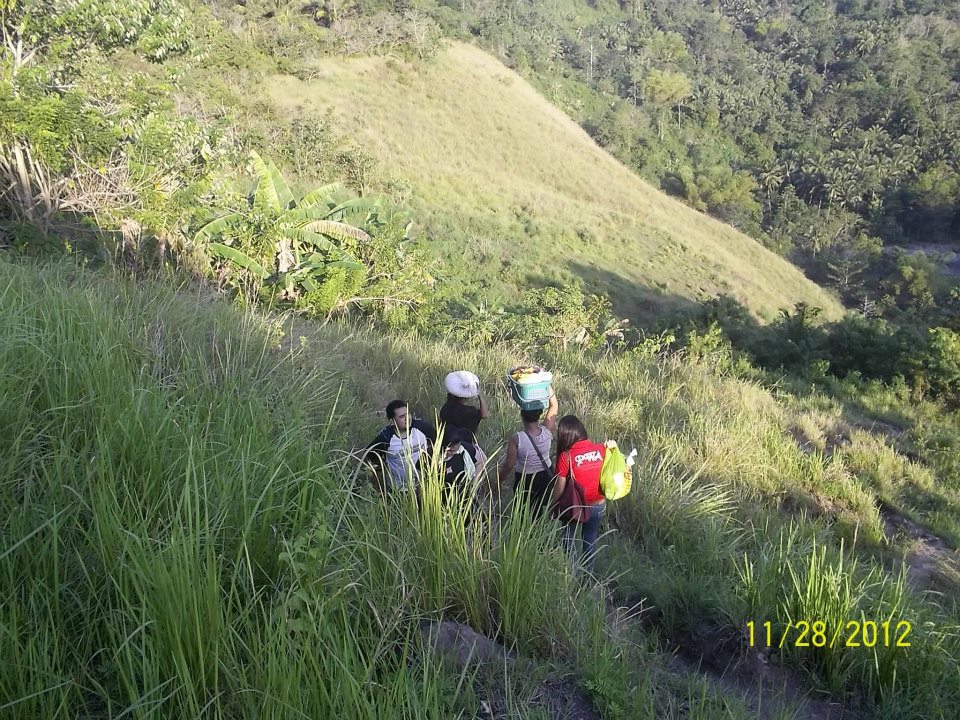
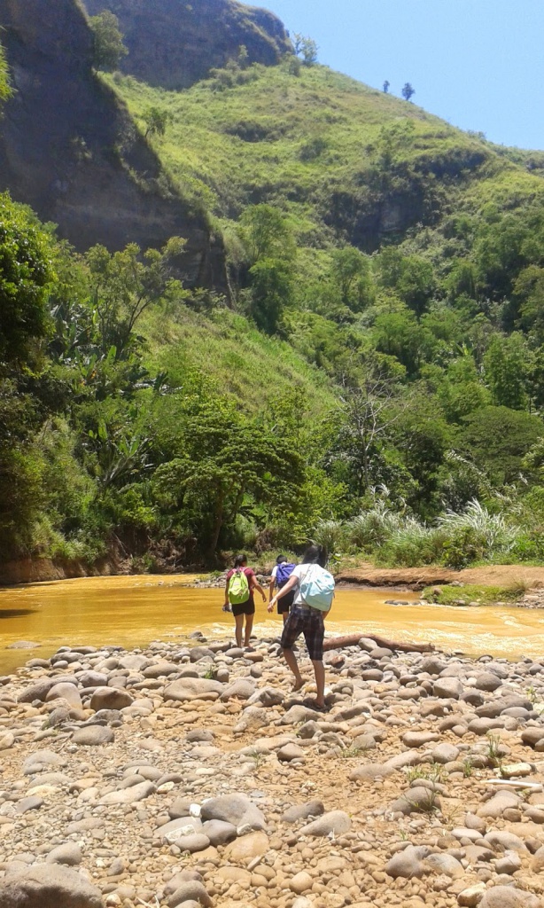
You can start at the junction of Nestle Road along the National Highway in Tablon. From there, you can hire local motorcycles or ‘habal-habal’ and proceed to Palalan which is a populated community southeast of Nestle factory. If you have a ride, you can go directly to Palalan. Just before Palalan proper, there’s a junction where you can start your trek. Take the southbound road or trail. As shown in the map below, an hour of trekking will lead you to Datu Makapanton’s house where you secure permission.
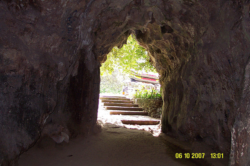
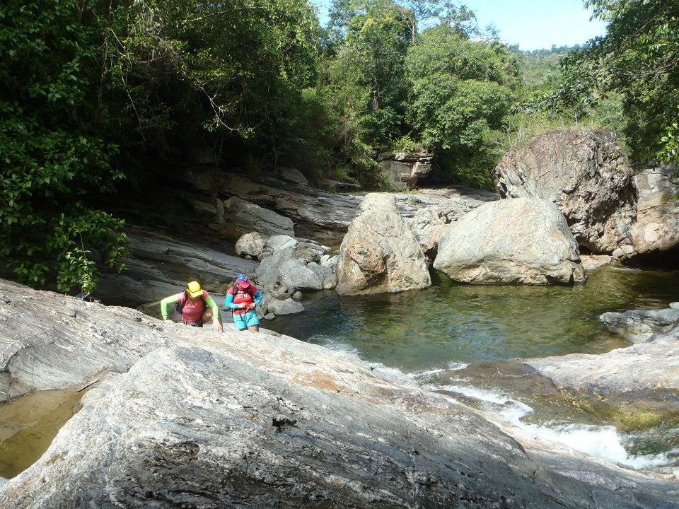
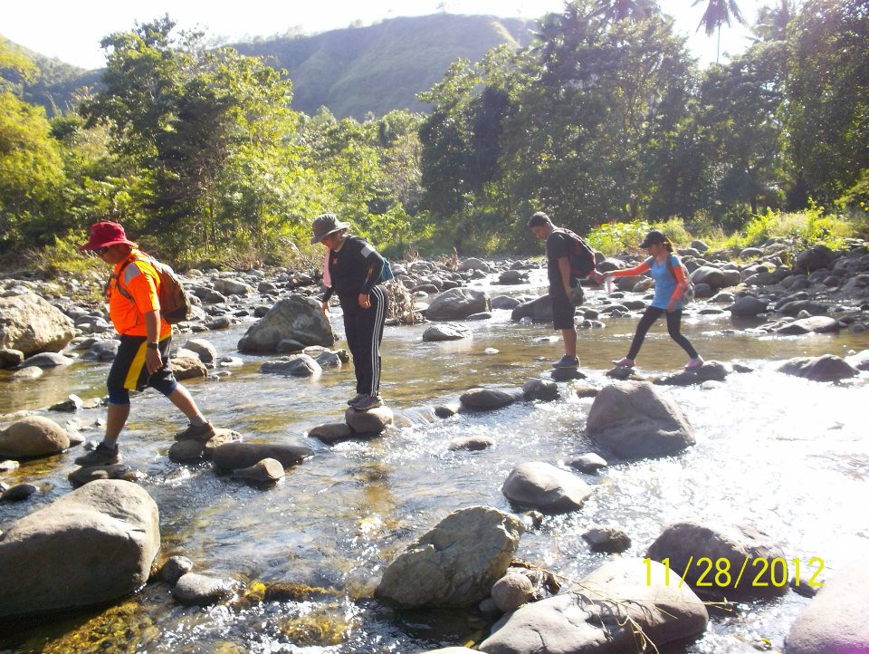
From the Datu’s house, it’s just a short 10-minute trek to the waterfall site which is a tributary of Umalag River. Here’s a closer look of the map near the waterfall site. (Source)
| Website: | no page found |
| Facebook: | no page found |
| Email: | no email found |
| Landline: | no number found |
| Mobile: | no number found |
| City/Municipal: | Cagayan de Oro |
| Barangay: | Tablon |
| Address: | Sitio Palalan |
| Entrance Fee: (Private area) | P20,- |

 (
(

 (
( (
(
 (
(
 (
( (
(
 (
(
 (
(

 (
(
 (
(
 (
(