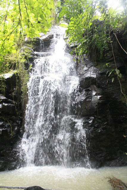
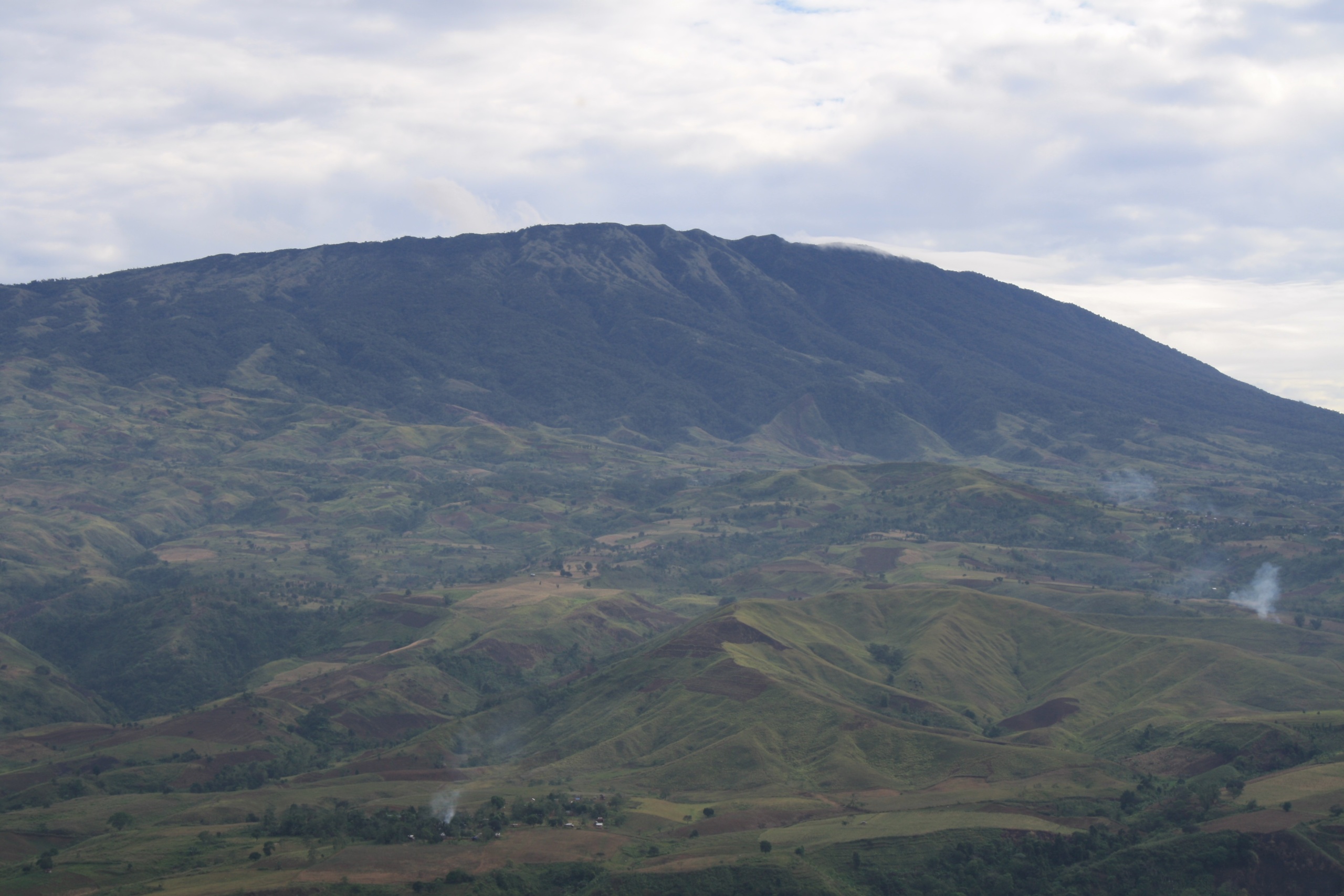
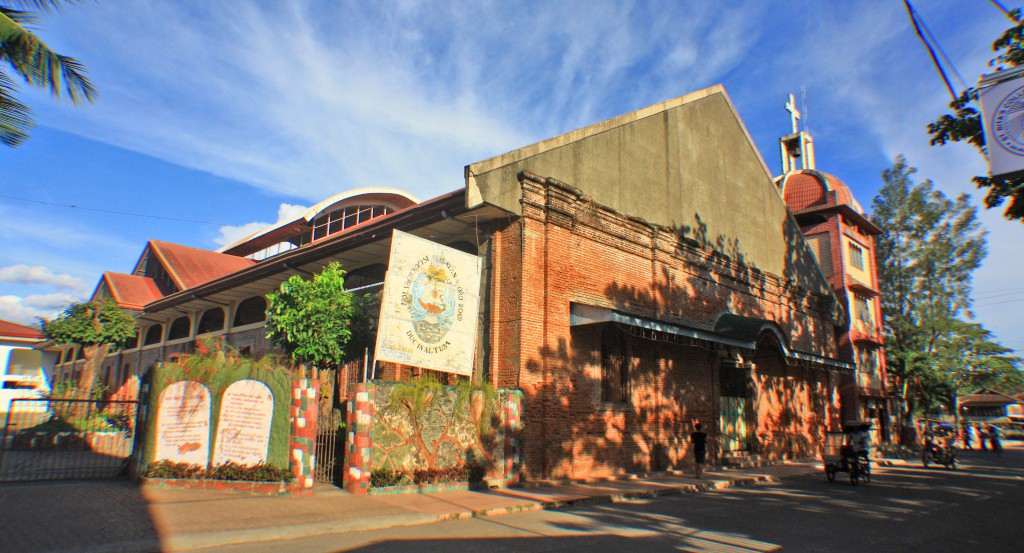
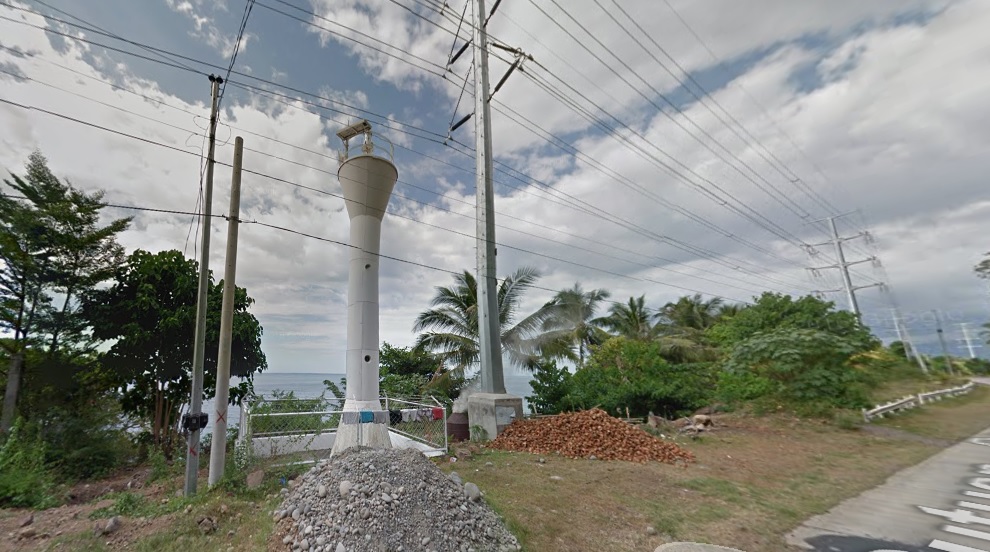
According to early accounts, the present town site of Balingasag was popularly known as Gumpot, while Balingasag use to be the place which is now Galas.
Long ago, the territory of Galas was ruled by Datu Marcos and his wife, Ba-i Gregoria while Gumpot territory was under the rulership of Datu Mateo and his wife ,Ba-i Tomasa. The territory of Datu Marcos was frequently inundated by the overflowing waters from the Balatukan River, so the natives move northward toward Gumpot . They finally settled in Gumpot and called the new settlement as Balingasag and the name had struck since then.
The name Balingasag was derived from the words “baling” which means fishing net and “kasag” means crab. Legend says that during the Spanish regime, there was a group of civil guards patrolling the seashore. Upon reaching the cave near Galas they saw some fishermen by the shore who were pulling their fishnets. The guards asked for the name of the Poblacion but the men did not understand their language and thought they were asked what they were doing so they answered “baling”, pointing to the net, and “kasag”, pointing the crabs in their bancas.
The Spaniards upon hearing the words “baling” and “kasag” repeatedly said the words until the other civil guards picked up the sound and repeated after them “baling-kasag”. Thus the place was given a name “Balingasag” which appeared in official records of the Spaniards.
| Website: | no website found |
| Facebook: | no page found |
| Email: | no email found |
| Landline: | no number found |
| |
| Mobile: | no number found |
| |
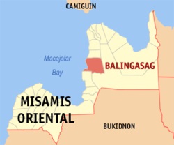
| Municipal: | Balingasag |
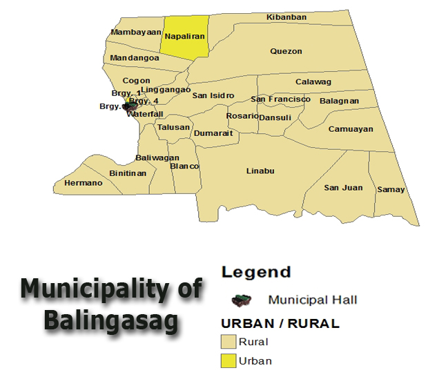
| Barangays: | 30 |
| Address: | Poblacion, Balingasag |
| Add. Info: | none |
| |
| |