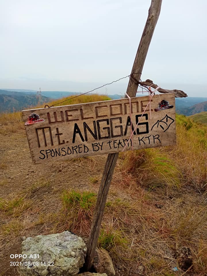
Mt. Anggas Range [Trail Hike]
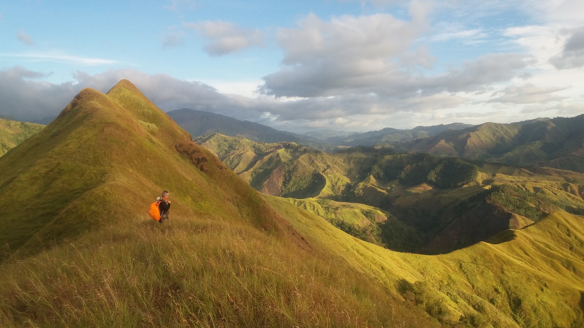

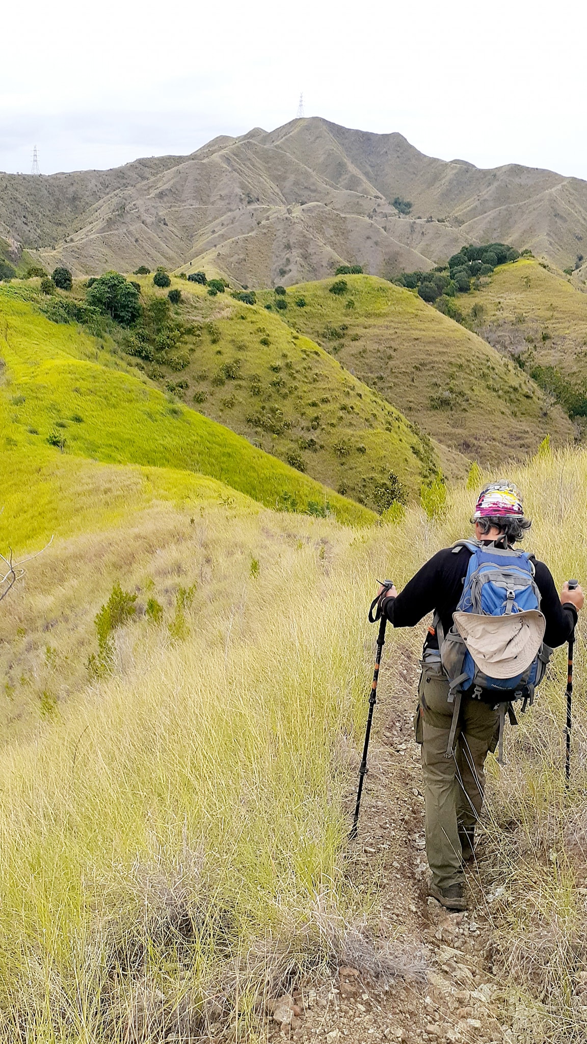
Beautiful ridges characterize this mineral-rich mountain in Gitagum, Misamis Oriental. There are plenty of trails in Mt. Anggas, all overlooking the mighty mountains of Mindanao, including Kitanglad, D2, and more. The best one for kids would be the trail that takes hikers from a beautiful campsite called “Nyor’s Playground”, to a two-hour hike to Abaga Falls. Day hikes and overnight camping are offered by Nyor’s Mountaineering Group.
 [Source: J. Acut]
How to get there: Make your way to Laguindingan Market. From there, commission a habal-habal to Sitio Sikiton. Hire a guide at the barangay hall.
If you want a more hassle-free hike, book it with Nyor’s. After arriving in Laguindingan AIrport in Misamis Oriental, you simply take a van to the integrated bus terminal. Nyor’s will pick you up and drop you off at the terminal. A day hike with Nyor’s is only P600 inclusive of guideship, transpo to and from the mountain, and side trip to Abaga Falls. [Source: cdodev]
| Website: | no website found |
| Facebook: | no page found |
| Email: | no email found |
| Landline: | no number found |
| Mobile: | no number found |
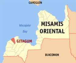
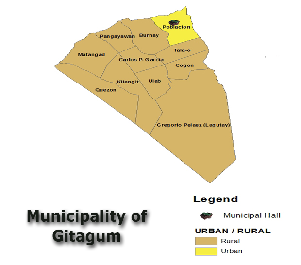
| Municipal: | Gitagum |
| Barangay: | G. Pelaez |
| Address: | Sitio Sikiton |
| Google Map: | Mt. Anggas Range |