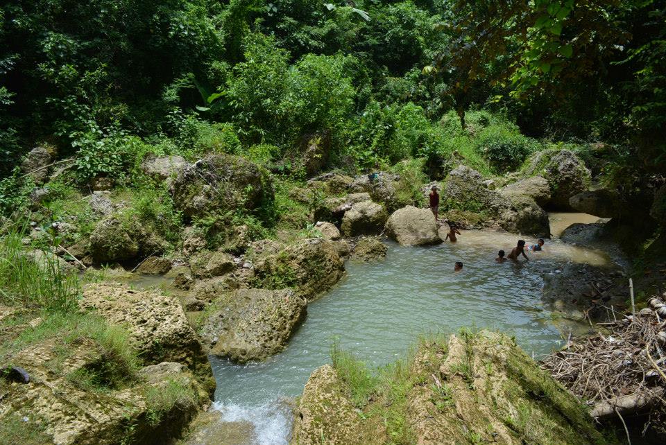
Liyang Bahu or Kuweba de Agua
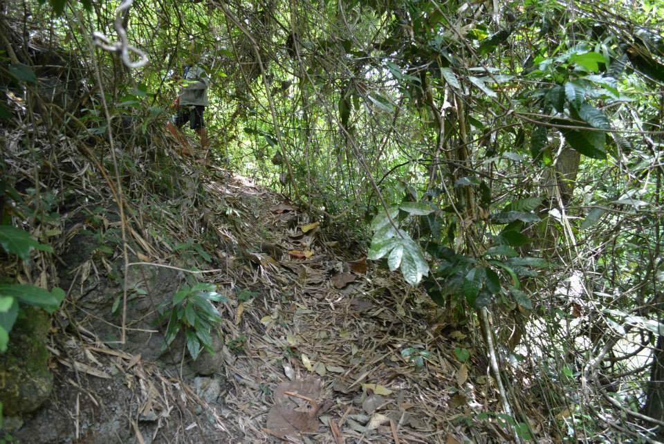
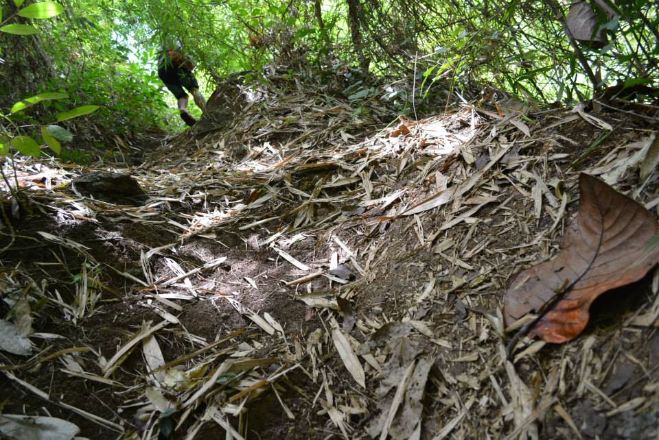
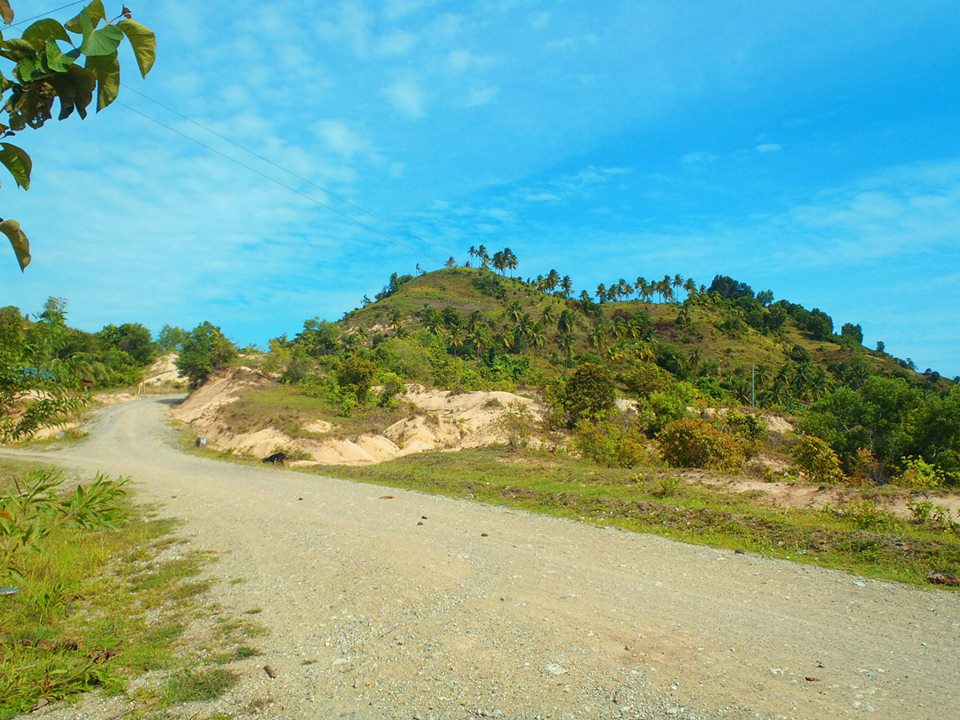
A cave and several rock shelters are located on the eastern side of the terminus of the principal ravine and intermittent creek in the area, in the limestone escarpment north of the proposed runway.
According to Mr. Domingo Estrada, the barangay captain of Moog,
the cave was called Liyang Bahu (“smelly cave”) by his forefathers.
1960 and 1970, which might explain the descriptive place name.
The last part of the article seems to be about Cueva Con Agua in Mauswagon…
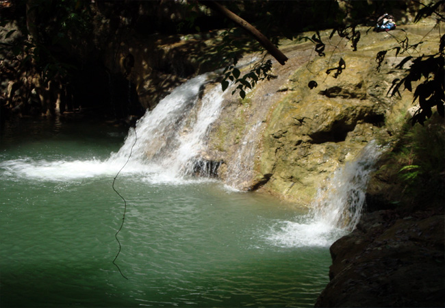
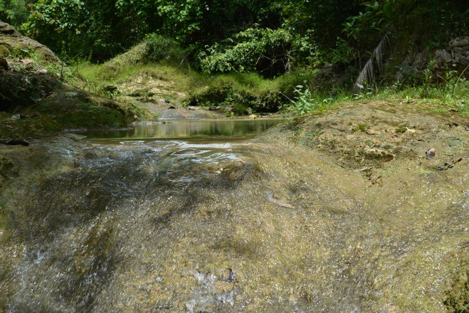
It is also locally referred to as the Kuweba de Agua (“water cave”).
The mouth of the cave is approximately two meters wide and is
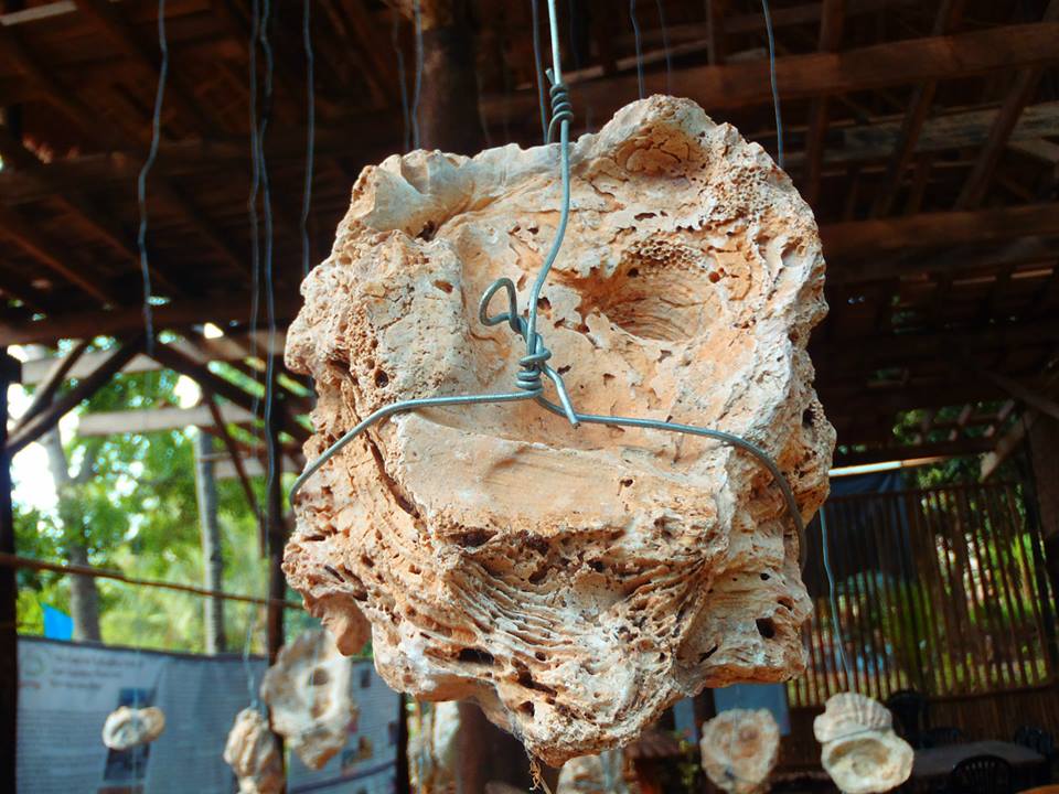
oriented at 270 degrees west. Inside, the ceiling is three meters high, rising to 10 meters at the small roof opening in the innermost part of the cave. Its maximum width is 15 meters and has a length of about 50 meters. No ceiling stalactite were found which may explain the abundance of limestone debris on the floor of the cave. The ground inside this cave is reportedly always wet which explains the local name, Kuweba de Aqua.
The cave was surveyed for evidence of archaeological resources such as artifacts, ecofacts, unique features and petroglyps. No archaeological remains were found in the cave which appears to have been extensively disturbed during the past mining of guano deposits. In the vicinity of the opening of the cave, contemporary materials similar to those found on the proposed runway area were noted.
Based on 1980 reports of the Bureau of Mines and Geo-Sciences, there are a total of 21 recorded caves and rock shelters in the vicinity of Tubajon identified for guano and rock phosphate deposits.
(Source)
| Website: | no page found |
| Facebook: | no page found |
| Email: | no email found |
| Landline: | no number found |
| |
| Mobile: | no number found |
| |
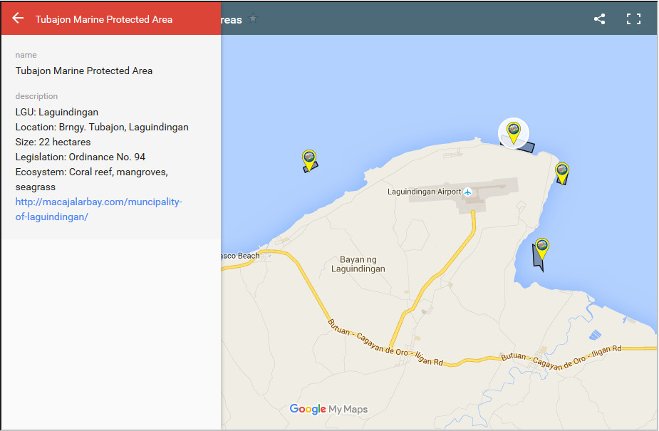
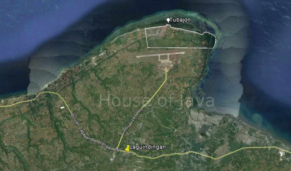
| City/Municipal: | Laguindingan |
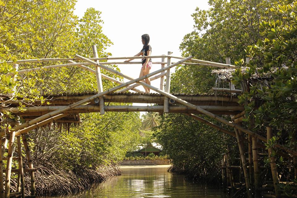
| Barangay: | Tubajon |
| Address: | |
KML File:
(use in Google Earth/Map Applications) | |
| The Golden Route: | 4a |
| |
Save