Category Archives: Sightseeing

Mantianak Botanical Garden and Zoological Park

The park is owned and managed by the municipal government. Most of the exotic animals are donated by local residents.

The place got its name from the late Cong. Danny Lagbas after it was rumored to be the place of a “tianak”.  In Filipino folklore, a “tianak” is a creature which imitates the form of a child. It usually takes the form of a newborn baby and cries like one in the jungle to attract unwary travelers. Once it is picked up by the victim, it reverts to its true form and attacks the victim. Aside from slashing victims, the tianak also delights in leading travelers astray, or in kidnapping children.

There are cottages available for overnight stay.

Tickets for the Mantianak Nature Park cost P80 for adults and P40 for children 12 years old and below. (2011) (Source)

Open daily from Monday to Sunday. “We only close on new years eve.”


(Source)  (2013)


Entrance from Cagayan-Butuan Hiway


Details:

Website:no page found
Facebook:Mantianak Zoo
Email:mantianakzoologicalpark@gmail.com
Landline:no number found
Mobile:0936 127 3357
City/Municipal:Sugbongcogon
Barangay:Poblacion
Address:Cagayan – Butuan Hiway
Google Map:Mantianak Botanical Garden and Zoological Park
more Info:Entrance Fee: P50 - P100

Balingasag LightHouse


(Source)

Solar-powered lighthouse

I . LIGHTHOUSE

CHARAC

LOCATION

LATITUDE

LONGITUDE

LIGHT CHARAC

STATUS

CGS CAGAYAN DE ORO            
2. LS  Balingasag

T

Balingasag, Misamis Oriental

08 42′ 24″ N

124 44′ 45″ E

Fl W ev 5 secs

under MSIPIII

Maritime Safety Improvement Project Phase III (MSIPIII)

Date; unknown. Active; focal plane about 12 m (39 ft); white flash every 10 s. 9.5 m (31 ft) white round hourglass-shaped tower.
The lighthouse is inconspicuous in Google’s satellite view. Located on Punta Gorda, a headland about 10 km southwest of Balingasag. Site open, tower closed. Admiralty F2264.5; NGA 15099. (Source)

Website:no website found
Facebook:no page found
Email:no email found
Landline:no number found
Mobile:no number found
Municipal:Balingasag
Barangay:Hermano
Address:Punta Gorda, Cagayan-Butuan Hiway
Google Map:Balingasag Lighthouse

Save

Old Brick Wall

Construction of the brick church (Sta. Rita de Cascia Church) is said to have started in 1892 by the Jesuits and finished in 1895 at the present location as the original wooden church near the coast was eventually destroyed by an encroaching sea. The lower level is made of bricks while the upper level made of wood. Two wooden belfries stood at the sides and three altars were installed.

During World War II, the guerrillas hastily burned the church because Japanese soldiers were stationed there. After the war, only the stone structure was left standing. (Source)

Blog about…
THE OLD BRICK CHURCH OF BALINGASAG:
Its Loss and Reconstruction
by “OldBulletsBiker”

Website:no website found
Facebook:no page found
Email:no email found
Landline:no number found
Mobile:no number found
Municipal:Balingasag
Barangay:Brgy. 3
Address:Tres Martines Street
Google Map:Old Brick Wall

The Vega House

According to the locals, it was build around 200 years ago and made primarily of one of the Philippines’ strongest molave tree. The design of the house is common of the 18th and 19th century houses but one thing that makes this unique and notable are the sculpted wooden men on the four outside corners of the house which looks like carrying the second floor. (Source)


(Source)

The Vega House is known as the Oldest Ancestral House found in the Municipality of Balingasag, Misamis Oriental.
What’s the most interesting fact about this ancestral home is the sculpted wooden man supporting the second floor structures that will make you feel nostalgic about vintage memoirs.
According to the town folks, this ancestral house belongs to the family of the late Maria Clara Vega Jimenez, the mother of movie personality “Inday Badiday” and Philippine Daily Inquirer Editor-In-Chief Letty Jimenez Magsanoc. (Source)

Website:no page found
Facebook:no page found
Email:no email found
Landline:no number found
Mobile:no number found
City/Municipal:Balingasag
Barangay:Brgy. 5
Address:Rizal Street / Regalado Street
Google Map:The Vega House

Balingasag Baywalk


(Source)

Nearby is the Balingasag Boulevard Shoreline. It has a stretch of gray sand beach lined with eateries. Most local residents flock here to go swimming during weekends. A night cafe is also held every Friday night. (Source)


(Source)

Website:no page found
Facebook:no page found
Email:no email found
Landline:no number found
Mobile:no number found
City/Municipal:Balingasag
Barangay:Brgy. 3 and Brgy. 6
Address:(Capili Street)
Google Map:Balingasag Baywalk

Mariculture Park


(Source)


This fisherman navigates his boat through the fish pens filled with Bangus fingerlings at the Mariculture Park in Balingasag town, Misamis Oriental, Tuesday morning, April 15, 2014. (Erwin M. Mascariñas) (Source)

Balingasag Mariculture Park Brgys. Waterfall, Baliwagan, Hermano, Binitinan and Brgy. 6

Balingasag is home of a 195.07- hectare of mariculture park which covered 5 coastal barangays. Launched in 2007, the park serves as the center of fishery-related activities such as aquaculturing, mangroves growing, sea ranching, and sea sanctuary. It now has 243 cages in which majority is occupied for bangus cultivation. In 2010, the volume of milkfish production reached more than 900 metric tons.

Since the operation of the mariculture park, a significant increase in bangus productivity is observed. It is declared as One Town, One Product (OTOP) of the municipality and through the collaborations of BFAR 10 and LGU-Balingasag, the Balingasag bangus is now exported in the United States. (Source)

WHY RAISE FISH IN A MARICULTURE PARK?
See Milkfish culture in sea cages. (3.2Mb PDF)


(Source)

Website:no page found
Facebook:no page found
Email:no email found
Landline:no number found
Mobile:no number found
City/Municipal:Balingasag
Barangay:Waterfall, Baliwagan, Hermano, Binitinan and Brgy. 6
Address:no street address found
Google Map:Mariculture Park

Mandangoa Spillway

At Mandangoa Spillway or Balatukan River Spillway Bridge, as it is also called, you can get pictures of the peaceful flowing water or sometimes more dramatic when the river is swollen…


(Source)


(Source)

(Source)

Website:no website found
Facebook:no page found
Email:no email found
Landline:no number found
Mobile:no number found
Municipal:Balingasag
Barangay:Mandangoa
Address:no street address found
Google Map:Mandangoa Spillway

Karaang Jasaan (Church Ruins)

The ruins are located on top of the hill overlooking Macajalar Bay with an average elevation of 52 masl. The area is locally known as
Karaang Jasaan (Old Jasaan).
It was believed that this was the original settlement of the people in Jasaan before they transferred to the present location in Barangay Poblacion. The site is a complex Spanish structure composed of a church (single nave with courtyard), belfry, and another ruin located in the eastern side of the church. The church has a dimension of 50 m x 46 m. Its courtyard is 14 m x 15 m. The belfry has a hexagonal shape located nine meters from the northern side of the church entrance. The separate ruins found 52 m east of the church is recorded as X-Ruins. The X-Ruins has an L-formation with measuring 12 m x 9 m x 14 m. (Source)

Website:no page found
Facebook:no page found
Email:no email found
Landline:no number found
Mobile:no number found
City/Municipal:Jasaan
Barangay:Aplaya
Address:Sitio Cota
Google Map:Karaang Jasaan (Church Ruins)
approx.

Ag Hasa a Statue

The Legend of Jasaan

How did Jasaan get its name?

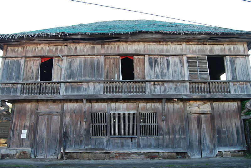
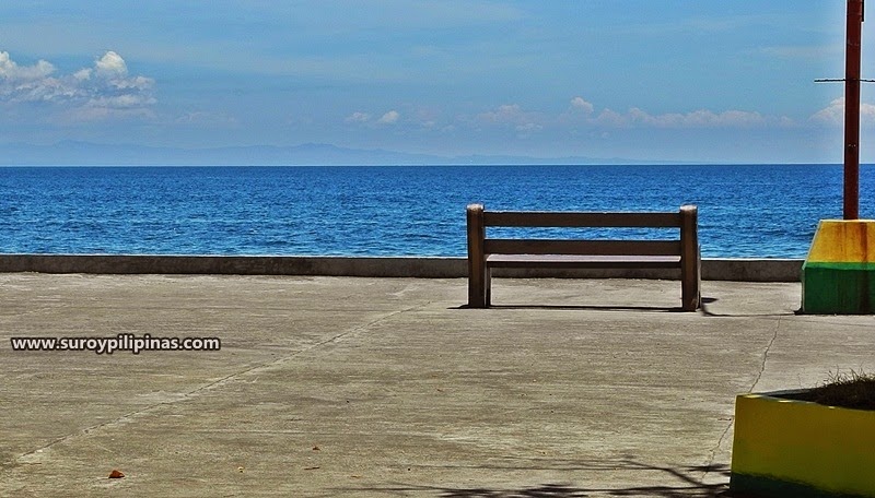
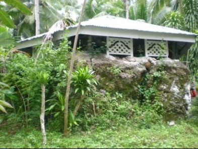
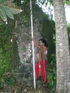
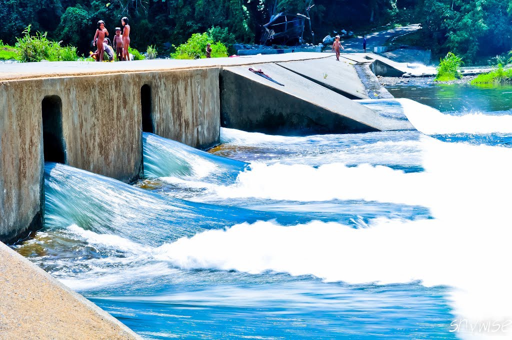
Gently rising two hundred feet above sea level, a plateau of about thirty thousand square meters, this place was called Trecina in Aplaya and commanded a panoramic view of what is now known as Macajalar bay.

A native, in his scanty attire of loincloth and headgear yawned widely while witnessing the slowly brightening glow of the morning sun. He wakes up at the first hint of dawn everyday to work on his farm. His thick callous hands confirmed his industriousness.

Spreading out his hands heavenward, like a man about to give homage to his maker, he faced the sea and inhaled the cool and fresh morning breeze. Down at the sea below he saw a small boat making its way to shore.

He gathers the dry sticks and leaves that have accumulated on his farm and piled them up for a bonfire. Smoke billows, carried by the rising air currents. He cannot continue to clear the underbrush this day because his bolo and other tools were rendered dull during his previous hacking. He needed to sharpen his tools.

With the fresh air that his lungs feasted on, he is now ready to begin the day’s work. He takes out his grindstone and starts to sharpen his farm implements.

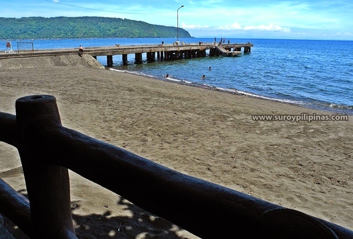
The sea was smooth as silk. The small sailboat sashayed along the clear waters of Macajalar bay. Still, the wind carried flecks of salt and sprayed them on the faces of the two Spanish missionaries on board the tiny sailboat. They were tasked to see if there were natives living along this stretch of coastline aside from the settlement in Cagayan.

Scanning the shoreline, one of the missionaries saw a wisp of smoke rising out of a hill slightly above the shore in front of them. They headed for the beach and waded on knee-deep seawater.

Heading towards the source of the smoke, they started climbing uphill. Still panting from the climb, they rested when they reached the top and saw about a hundred meters beyond, a native with his back to them doing something. The two priests approached the unknown local man.

“Ola amigo, buenos dias!” (Hello friend, good morning!) One of them greeted the native.

The somewhat little bit startled native looked up and gawked at the tall white-skinned and long robed stranger with a strange language. He continued sharpening his bolo. Beads of sweat glistened on his strong-featured face reflected by the morning sunshine.

Without waiting for the native to answer, one of the priest continued asking, “Como si llama este lugar?” (What is the name of this place?)

The native stopped working and smiled. Thinking that the white-skinned man asked what he was doing, he answered in his native Binukid dialect.

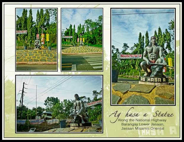
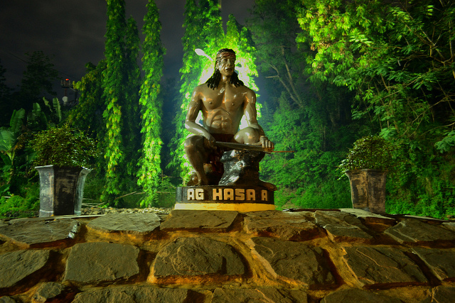
“Ag hasa-a.” (I’m sharpening my bolo.)

“Gracias.” (Thank you.) The priest answered and prepared to leave.

One of the two strangers turned around and informed his companion what he thought was the name of the place that the native had given him.

The native did not understand the question and so gave the wrong answer. The missionary in turn, did not understand the answer, and so erroneously presumed that the answer to his question was correct.

Since the phrase “Ag hasa-a” is practically a tongue twister to foreigners, he mistakenly christened the place “hasa-an”. Since then it has evolved to its present Spanish spelling of “Jasaan”.

It was a classic quirk of language misunderstood. –

By Danilo T. Nacua (Source)


(Source)


Website:no page found
Facebook:no page found
Email:no email found
Landline:no number found
Mobile:no number found
City/Municipal:Jasaan
Barangay:Poblacion
Address:Cagayan – Butuan Hiway
Google Map:Ag Hasa a Statue